View Original in 360 Degree Image Viewer (6.1 MB)
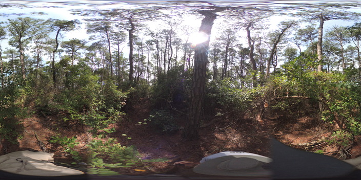
View Large Version in 360 Degree Image Viewer (1.6 MB)
View Medium Version in 360 Degree Image Viewer (510.4 KB)
View Small Version in 360 Degree Image Viewer (169.1 KB)
Select Item below to DOWNLOAD - Once item is selected, right click and choose 'save as'
29c2c4fb-ac03-48f8-8ec5-6b12d8df6fbe
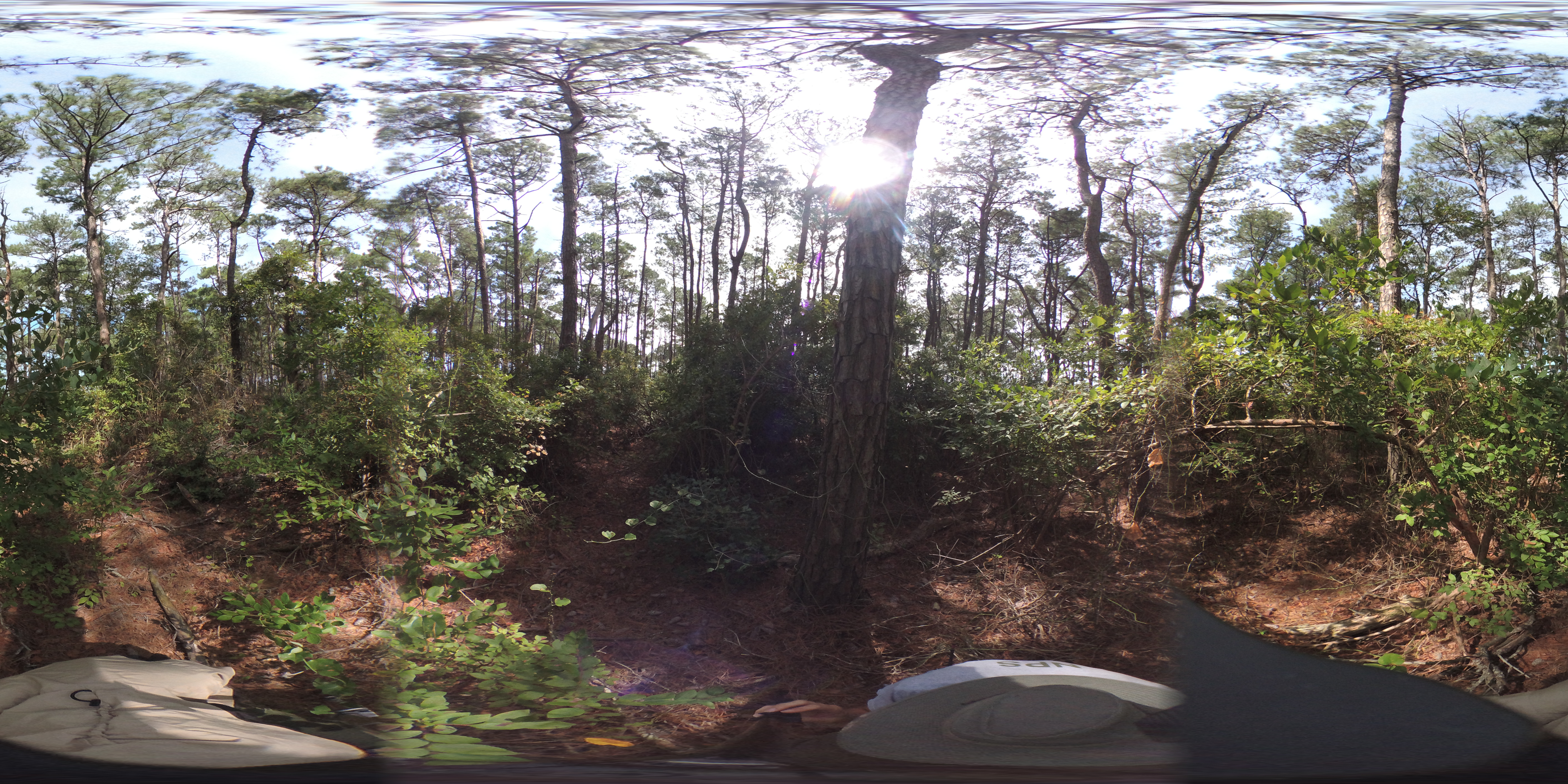
Site-00535.JPG
360 photo of forest monitoring site 00535
Permission must be secured from the individual copyright owners to reproduce any copyrighted materials contained within this website. Digital assets without any copyright restrictions are public domain.
Public domain:Full Granting Rights
360 Image
Assateague Island National Seashore, Code: ASIS
Assateague Island National Seashore
Latitude: 38.0390281677246, Longitude: -75.2496337890625
Latitude: 38.0390281677246, Longitude: -75.2496337890625
09/04/2019
09/04/2019
Public Can View
Wednesday, September 4, 2019 4:37:45 PM
Wednesday, September 4, 2019 4:37:45 PM
Site-00535.JPG
1041/1000000 sec at f / 2
1.03 mm
ISO 169
Wednesday, September 4, 2019 5:16:47 PM
jpg
6.4 MB
Scenic