Select Item below to DOWNLOAD - Once item is selected, right click and choose 'save as'
29C2BB2F-1DD8-B71C-0700753EED4821AD
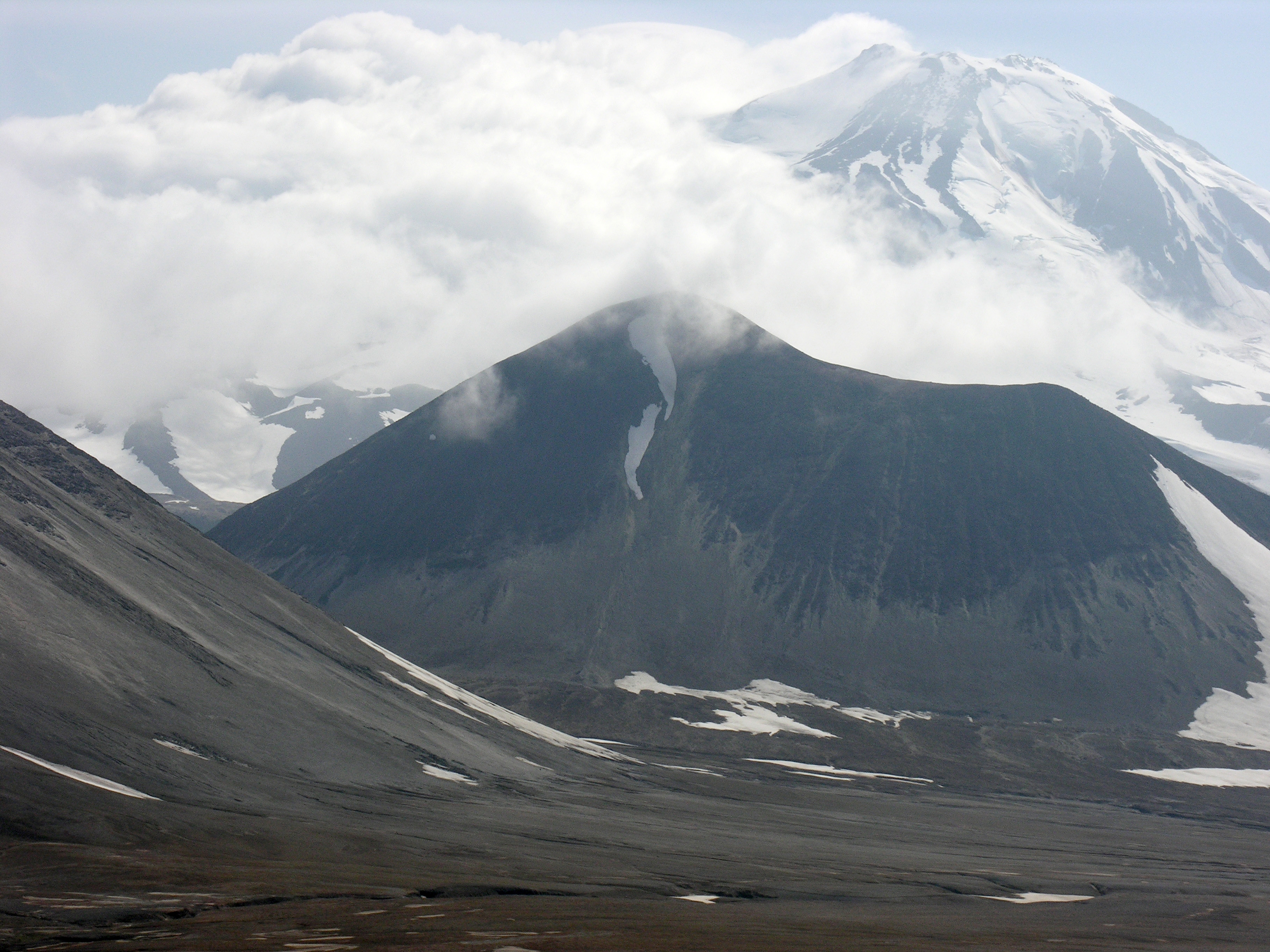
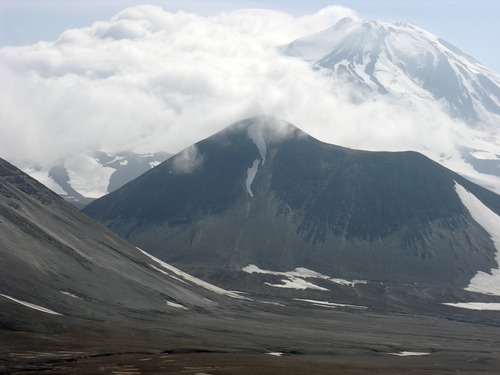
Katmai Pass and Mageik Volcano
Katmai Pass has historically been a easier route through the Alaska Range from the Pacific Ocean out to the Bering Sea. After the great eruption of 1912, this route has become very difficult to hike due to soft ash and shifting river channels.
Katmai Pass has historically been a easier route through the Alaska Range from the Pacific Ocean out to the Bering Sea. After the great eruption of 1912, this route has become very difficult to hike due to soft ash and shifting river channels.
U.S. National Park Service
Permission must be secured from the individual copyright owners to reproduce any copyrighted materials contained within this website. Digital assets without any copyright restrictions are public domain.
Public domain:Full Granting Rights
Image
Katmai National Park and Preserve, Code: KATM
Katmai National Park and Preserve
7/16/2010 12:43:52 PM
Public Can View
Monday, January 1, 2018 11:40:51 PM
Monday, January 1, 2018 11:40:51 PM
29C5EFE0-1DD8-B71C-0753327CFC5CC360.jpg
NIKON NIKON, E8800
10/2934 sec at f / 7.4
29.3 mm
ISO 50
Sunday, July 9, 2006 11:28:39 PM
jpg
4.1 MB
Scenic