Select Item below to DOWNLOAD - Once item is selected, right click and choose 'save as'
242CFC99-1DD8-B71B-0BF18E26DFA37B10
Church Creek
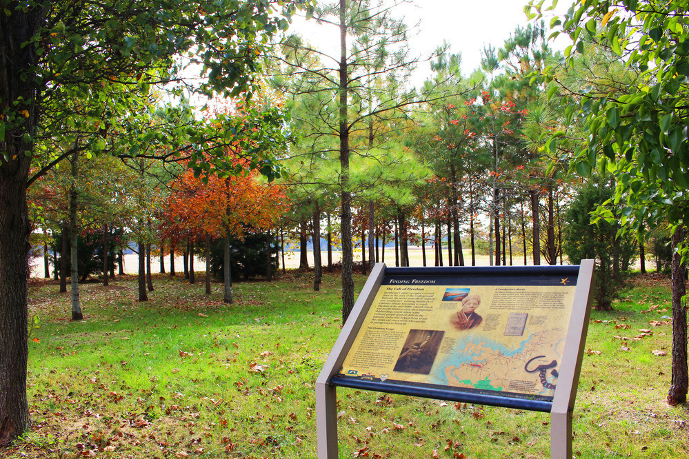
A wayside sign in a small, open grove of trees with changing fall leaves.
Church Creek, a community close to the new visitor center facility, was a shipbuilding community in the 1830s.
U.S. National Park Service
Permission must be secured from the individual copyright owners to reproduce any copyrighted materials contained within this website. Digital assets without any copyright restrictions are public domain.
NPS Photo/Beth Parnicza
Public domain:Full Granting Rights
Image
Harriet Tubman Underground Railroad National Historical Park, Code: HATU
Harriet Tubman Underground Railroad National Historical Park, Dorchester County, Maryland
Latitude: 38.4471588134766, Longitude: -76.1060256958008
Latitude: 38.4471588134766, Longitude: -76.1060256958008
11/18/2016 3:57:00 PM
Public Can View
Monday, January 1, 2018 3:41:49 PM
Monday, January 1, 2018 3:41:49 PM
242D3B0C-1DD8-B71B-0BAFE8867144D95A.JPG
Canon Canon, Canon EOS REBEL SL1 100, EF-S18-55mm f/3.5-5.6 IS STM
1/60 sec at f / 8
18 mm
ISO 100
Wednesday, November 16, 2016 8:57:43 AM
jpg
4.6 MB
Scenic