Select Item below to DOWNLOAD - Once item is selected, right click and choose 'save as'
238cdb3d-81bc-40b9-ac98-d53ffbda06d0
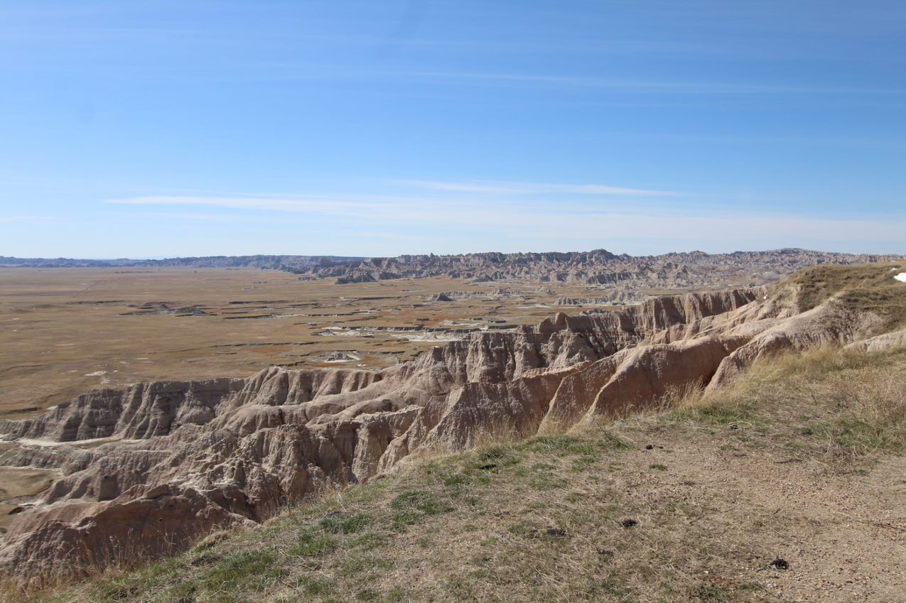
Homestead Overlook
Badlands formations melt into a yellow-orange prairie below
Homestead Overlook is named for the Homesteading Acts, which provided land to settlers willing to occupy and farm on that land.
Permission must be secured from the individual copyright owners to reproduce any copyrighted materials contained within this website. Digital assets without any copyright restrictions are public domain.
Public domain:Full Granting Rights
Image
Badlands National Park, Code: BADL
Badlands National Park, South Dakota
Latitude: 43.8339996337891, Longitude: -102.393898010254
Latitude: 43.8339996337891, Longitude: -102.393898010254
01/01/0001
Public Can View
Friday, April 24, 2020 12:27:12 PM
Friday, April 24, 2020 12:27:12 PM
thumbnail (17).jpg
Monday, January 1, 0001 12:00:00 AM
jpg
199.8 kB
Scenic