Select Item below to DOWNLOAD - Once item is selected, right click and choose 'save as'
22b08dac9d434f43b3dbf4f66e616fb2
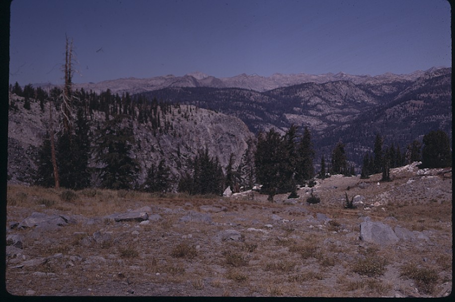
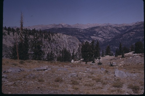
Registers Creek, Matterhorn Area
Registers Creek, Matterhorn Area
Register Creek, Matterhorn Area N Baggott 1968
Slide Number: A-11-083
U. S. National Park Service
Permission must be secured from the individual copyright owners to reproduce any copyrighted materials contained within this website.
Public domain
Image
Yosemite National Park, Code: YOSE
Registers Creek, Matterhorn Area
Yosemite National Park, California
Latitude: 37.8399200439453, Longitude: -119.540397644043
Yosemite National Park, California
Latitude: 37.8399200439453, Longitude: -119.540397644043
2011/11/30
01/01/1968 - 12/30/1968
Public Can View
Person: Archivist
Organization: US National Park Service
Address: Yosemite National Park Archives, PO Box 700-W, El Portal, CA 95318
Email: yose_archives@nps.gov
Organization: US National Park Service
Address: Yosemite National Park Archives, PO Box 700-W, El Portal, CA 95318
Email: yose_archives@nps.gov
Friday, May 31, 2019 10:52:28 AM
Friday, May 31, 2019 10:52:28 AM
A-11-083.jpg
jpg
142.6 kB
Historic