Select Item below to DOWNLOAD - Once item is selected, right click and choose 'save as'
2283a3d1153d4ff1afd2f8eccff8a0c5
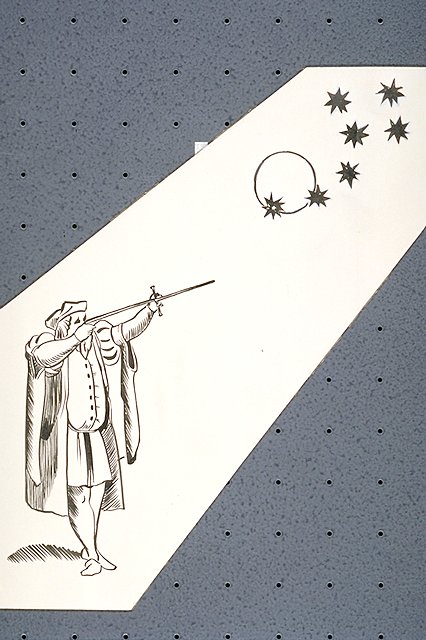
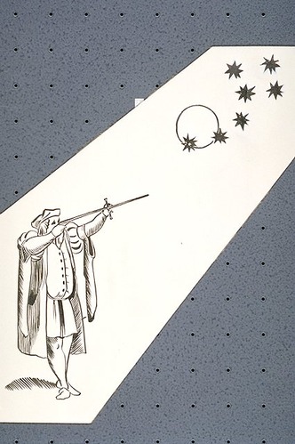
Illustration depicts direction and distance positioning using an astrolabe to take solar measurements.
Illustration depicts direction and distance positioning using an astrolabe to take solar measurements.
Abbr=EX
U.S. National Park Service
Project=The Art of Navigation ; Reflective Art
Government owns art and all reproduction rights.
Public domain
Pen and ink on illustration board, (HFC ArtMedium)
Image
Fort Caroline National Memorial, Code: FOCA
Fort Caroline National Memorial, Duval County, Florida
Latitude: 30.38450050354, Longitude: -81.5002975463867
Latitude: 30.38450050354, Longitude: -81.5002975463867
Image Management System : IMS 06454
20190904
1963(?)
E10
Public Can View
Organization: Harpers Ferry Center
Address: Harpers Ferry Center, 67 Mather Place, Harpers Ferry, WV, 25425, 304-535-5050
Address: Harpers Ferry Center, 67 Mather Place, Harpers Ferry, WV, 25425, 304-535-5050
Thursday, October 3, 2019 4:39:21 PM
Thursday, October 3, 2019 4:39:21 PM
06454.JPG
jpg
61.9 kB
Museum