Select Item below to DOWNLOAD - Once item is selected, right click and choose 'save as'
183a255a79e84abda8a54ba6d9da6e86
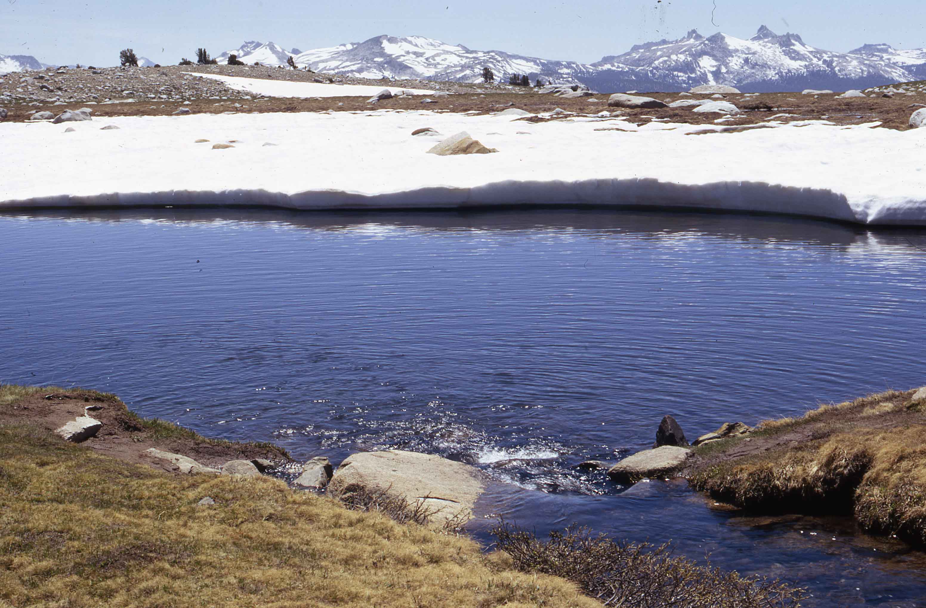
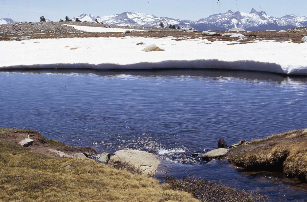
Gaylor Lake
Gaylor Lake
Middle Gaylor Lake, Cathedral Range, A1401, A.18.f.6, Lakes, 1967 July 26, M V Hood [Mary V Hood], Original, A-22-042-027
Slide Number: A-22-042-027
U. S. National Park Service
Permission must be secured from the individual copyright owners to reproduce any copyrighted materials contained within this website.
Public domain
Image
Yosemite National Park, Code: YOSE
Gaylor Lake
Yosemite National Park, California
Latitude: 37.8399200439453, Longitude: -119.540397644043
Yosemite National Park, California
Latitude: 37.8399200439453, Longitude: -119.540397644043
2012/02/25
07/01/1967 - 07/30/1967
Public Can View
Person: Archivist
Organization: US National Park Service
Address: Yosemite National Park Archives, PO Box 700-W, El Portal, CA 95318
Email: yose_archives@nps.gov
Organization: US National Park Service
Address: Yosemite National Park Archives, PO Box 700-W, El Portal, CA 95318
Email: yose_archives@nps.gov
Friday, May 31, 2019 10:01:49 AM
Friday, May 31, 2019 10:01:49 AM
A-22-042-027.jpg
jpg
409.7 kB
Historic