Select Item below to DOWNLOAD - Once item is selected, right click and choose 'save as'
0d2689f7-d65c-4f21-a074-b3ab6f45734c
COLO
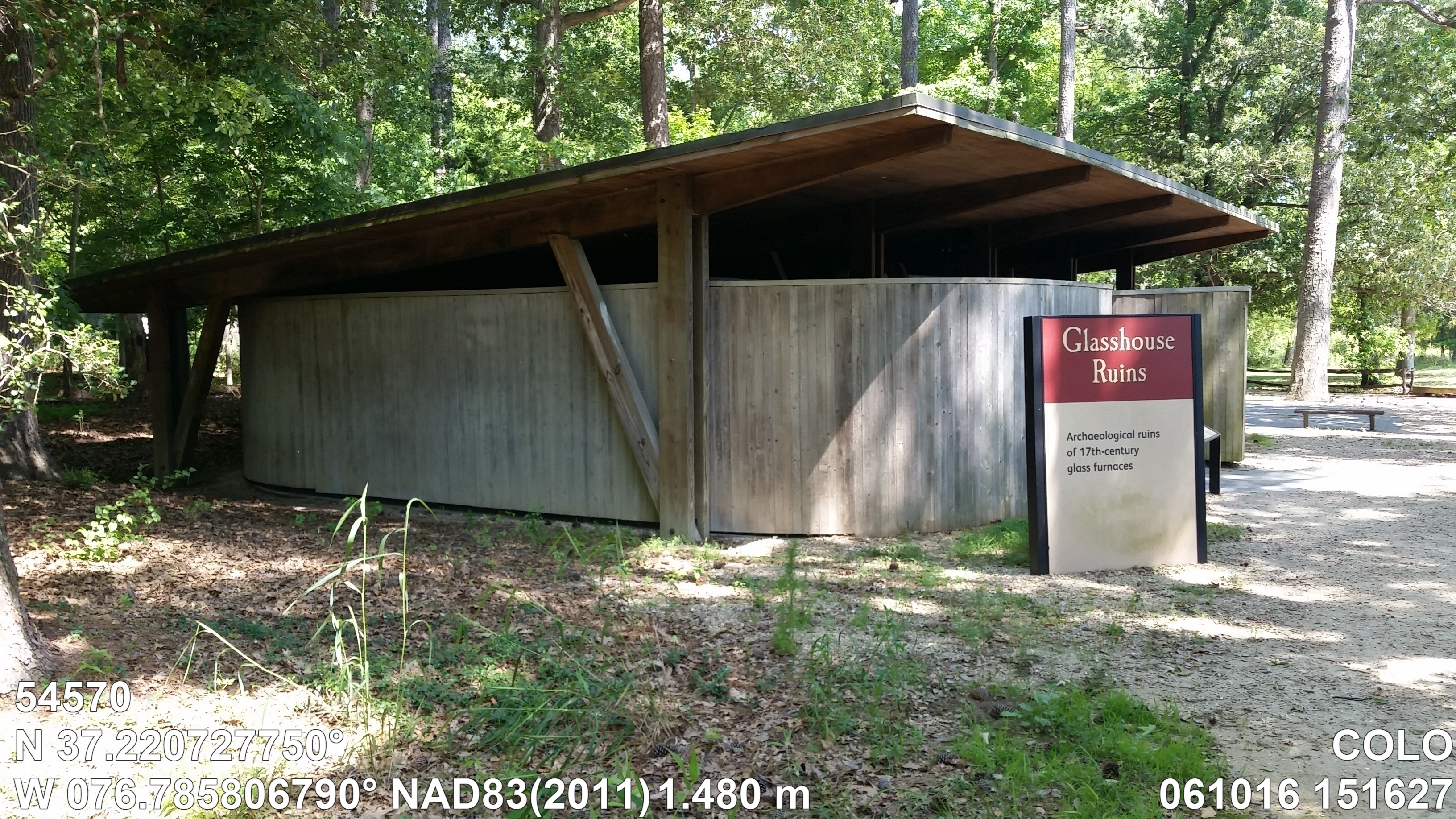
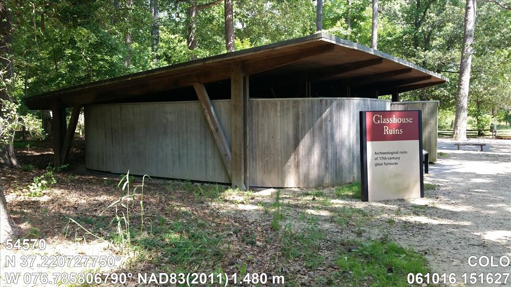
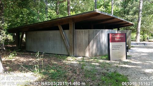
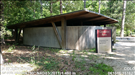
Glasshouse Factory Ruins Shelter 42J630M4
Image with visible watermark of coordinates, elevations date, time and park code.
54570
4100
Permission must be secured from the individual copyright owners to reproduce any copyrighted materials contained within this website. Digital assets without any copyright restrictions are public domain.
Public domain
Asset Inventory, (NPS Focus Subject Thesaurus)
, Coastal, (NPS Focus Subject Thesaurus)
, Elevations, (NPS Focus Subject Thesaurus)
, FMSS, (NPS Focus Subject Thesaurus)
, Coastal, (NPS Focus Subject Thesaurus)
, Elevations, (NPS Focus Subject Thesaurus)
, FMSS, (NPS Focus Subject Thesaurus)
Image
Colonial National Historical Park, Code: COLO
Virginia
Latitude: 37.22072775, Longitude: -76.78580679, Elevation: 1.48
Latitude: 37.22072775, Longitude: -76.78580679, Elevation: 1.48
FMSS (Location Number) : 54570
06/10/2016
06/10/2016
Public Can View
Organization: FMGIS
Email: Brian_Diethorn@partner.nps.gov
Email: Brian_Diethorn@partner.nps.gov
Tuesday, December 13, 2016 5:02:36 PM
Wednesday, August 9, 2017 12:13:49 PM
54570_061016_151627_tag.jpg
samsung samsung, SM-G900P
1/120 sec at f / 2.2
4.8 mm
ISO 64
Friday, June 10, 2016 9:15:56 PM
jpg
5.0 MB
Source: LOCALTIDAL_MSL
Content: 1.517
Content: 1.517
Inventory