Select Item below to DOWNLOAD - Once item is selected, right click and choose 'save as'
0c1dab6bb2d94fb99773981c1d48123a
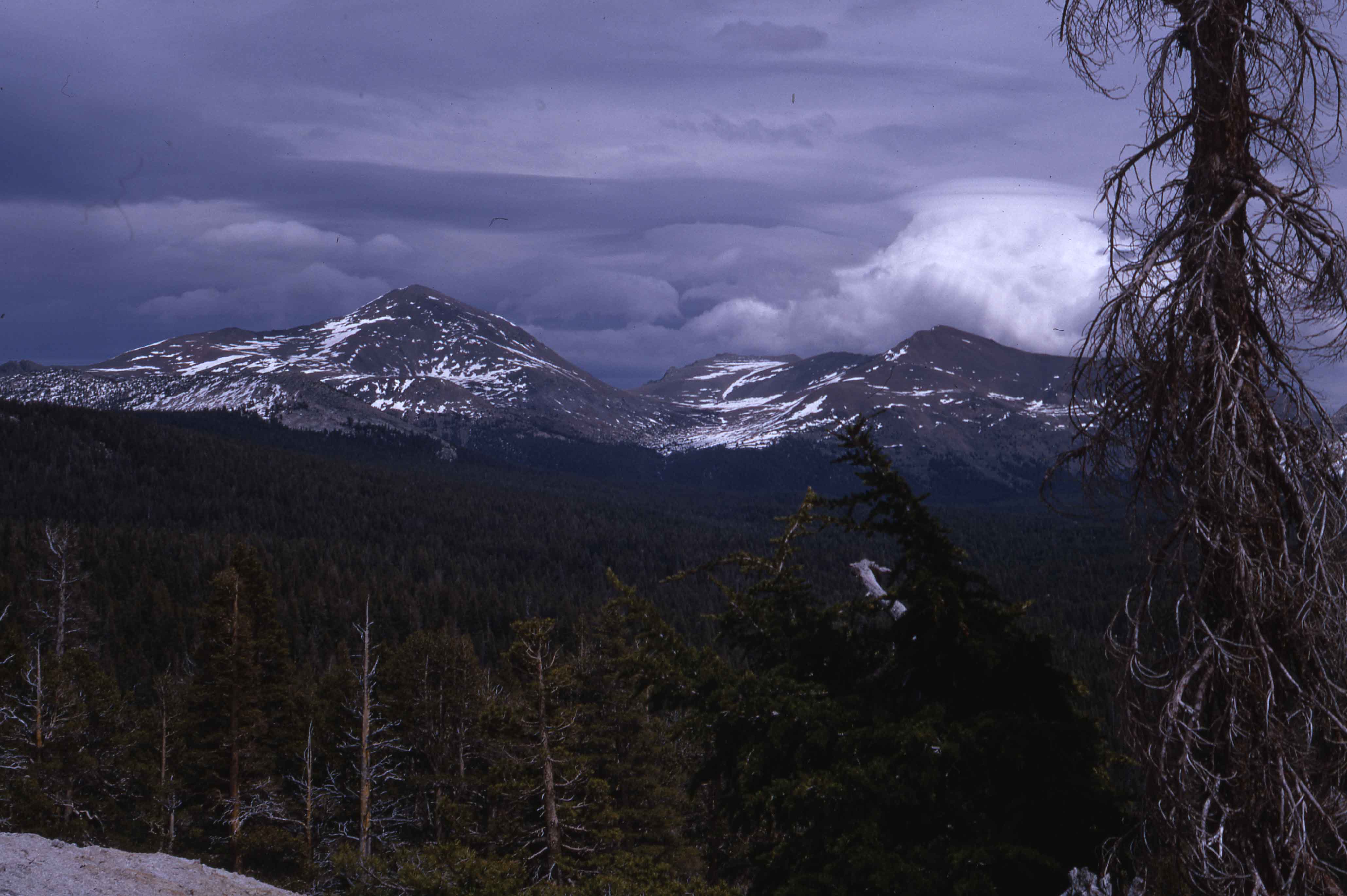
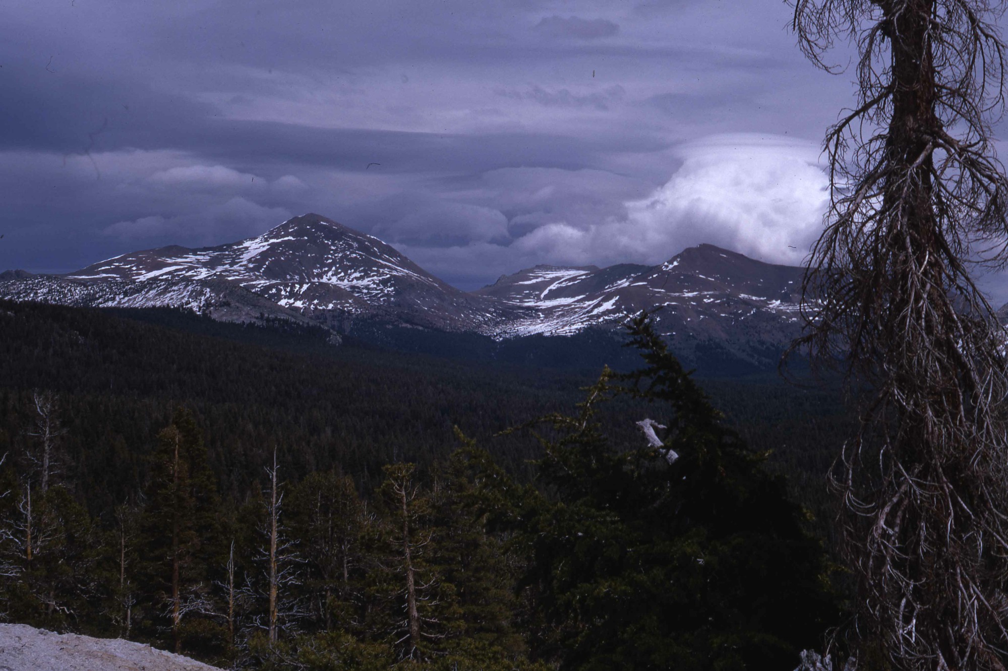
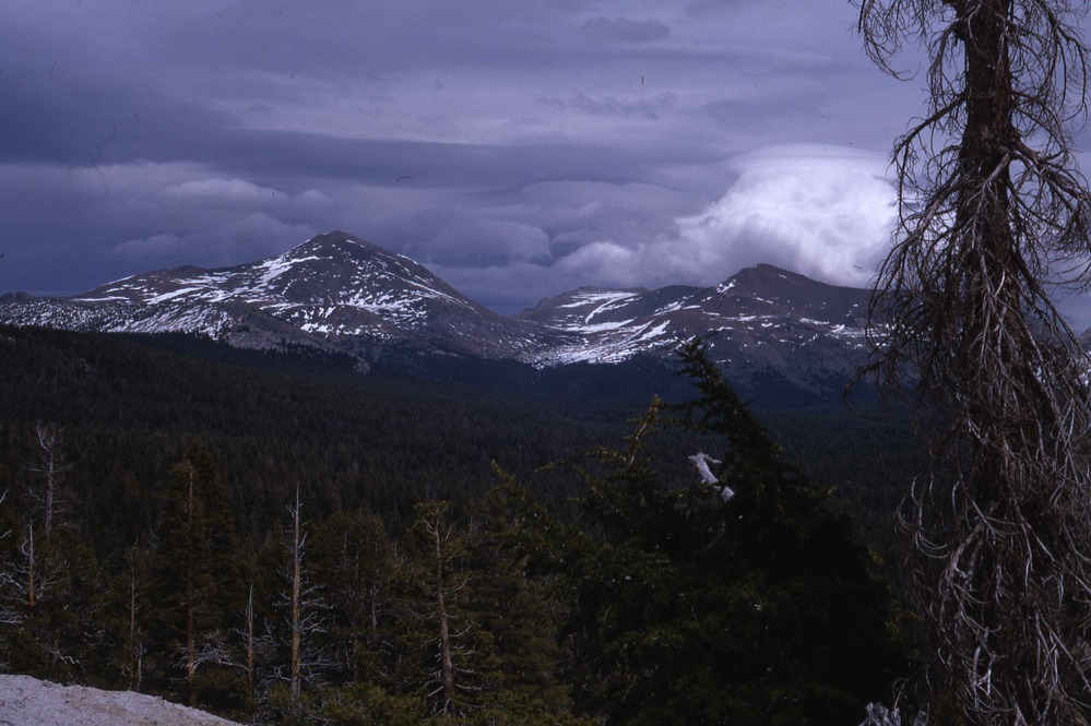
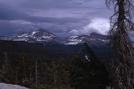
Mt. Dana
Mt. Dana
Mt Dana. East from Lembert Dome. Photog: D Guy [Dorothy Guy]. 6/3/1968 [1968 June 3]. Original. 29G. #A-2335. Yosemite Original. A-29-K-5.
Slide Number: A-24-11-017
U. S. National Park Service
Permission must be secured from the individual copyright owners to reproduce any copyrighted materials contained within this website.
Public domain
Image
Yosemite National Park, Code: YOSE
Mt. Dana
Yosemite National Park, California
Latitude: 37.8399200439453, Longitude: -119.540397644043
Yosemite National Park, California
Latitude: 37.8399200439453, Longitude: -119.540397644043
2012/04/29
06/01/1968 - 06/29/1968
Public Can View
Person: Archivist
Organization: US National Park Service
Address: Yosemite National Park Archives, PO Box 700-W, El Portal, CA 95318
Email: yose_archives@nps.gov
Organization: US National Park Service
Address: Yosemite National Park Archives, PO Box 700-W, El Portal, CA 95318
Email: yose_archives@nps.gov
Thursday, May 30, 2019 3:17:53 PM
Thursday, May 30, 2019 3:17:53 PM
A-24-11-017.jpg
jpg
378.4 kB
Historic