Select Item below to DOWNLOAD - Once item is selected, right click and choose 'save as'
0bbe9cc56ced4c2ba6e1d1bb7c4c6d95
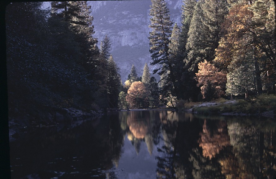
Downstream towards Sentinal Bridge
Downstream towards Sentinal Bridge
Autumn, Down stream towards Sentinal Bridge, AW &MV Hood, 11/10/1967, , , ,
Slide Number: B-01-041
U. S. National Park Service
Permission must be secured from the individual copyright owners to reproduce any copyrighted materials contained within this website.
Public domain
Image
Yosemite National Park, Code: YOSE
Downstream towards Sentinal Bridge
Yosemite National Park, California
Latitude: 37.8399200439453, Longitude: -119.540397644043
Yosemite National Park, California
Latitude: 37.8399200439453, Longitude: -119.540397644043
2011/11/30
11/10/1967
Public Can View
Person: Archivist
Organization: US National Park Service
Address: Yosemite National Park Archives, PO Box 700-W, El Portal, CA 95318
Email: yose_archives@nps.gov
Organization: US National Park Service
Address: Yosemite National Park Archives, PO Box 700-W, El Portal, CA 95318
Email: yose_archives@nps.gov
Thursday, May 30, 2019 12:06:08 PM
Thursday, May 30, 2019 12:06:08 PM
B-01-041.jpg
jpg
145.2 kB
Historic