Select Item below to DOWNLOAD - Once item is selected, right click and choose 'save as'
08d2a633-2c00-4b75-935b-f84e67ab2a6d
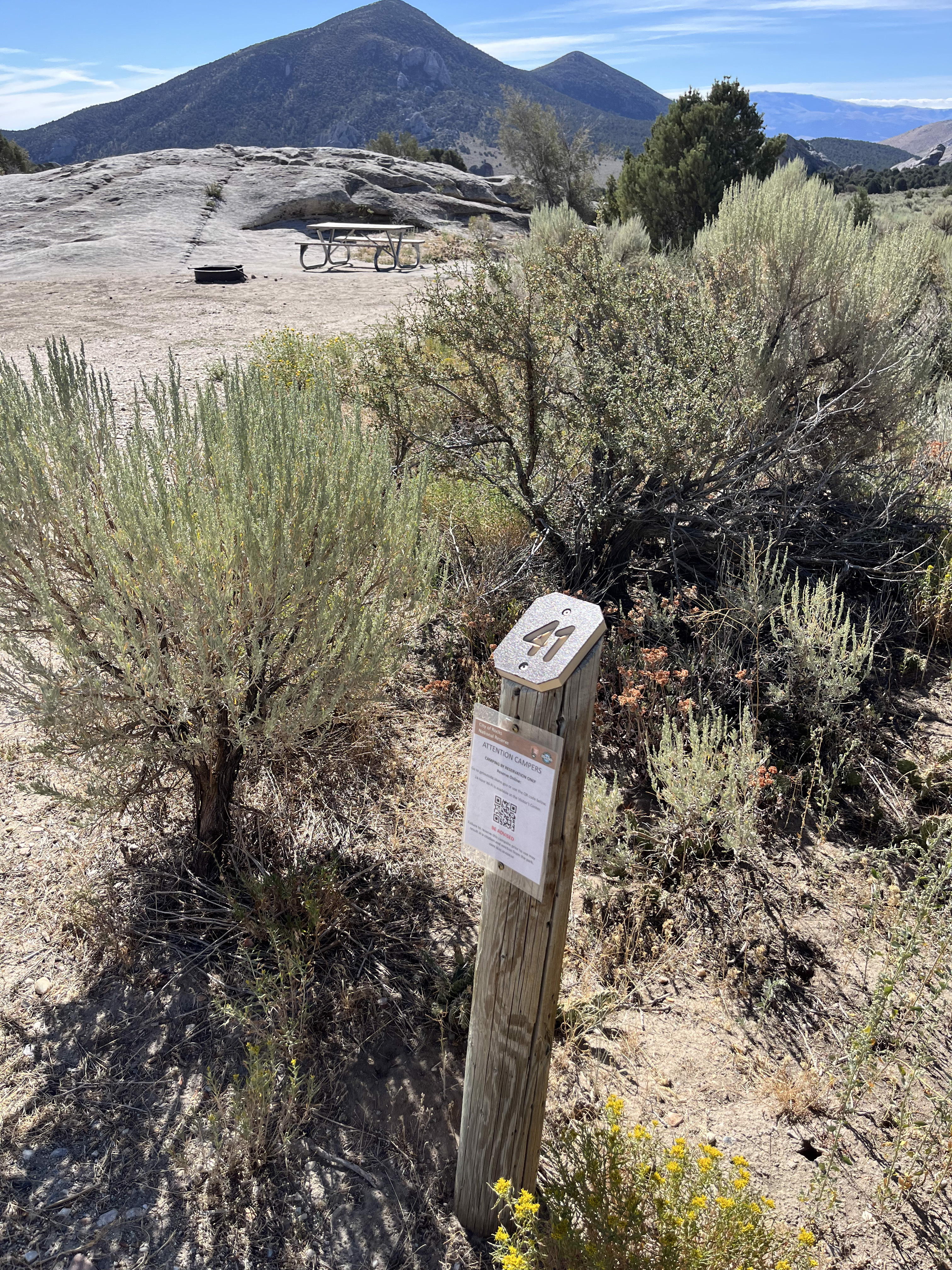
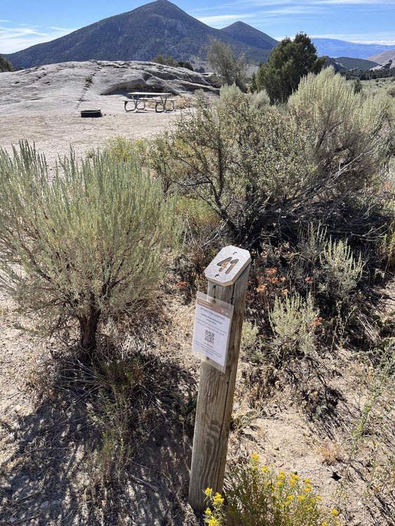
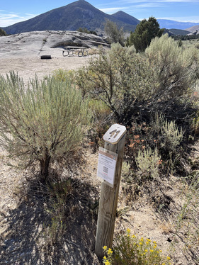
Campsite 41 marker
Campsite 41 marker post and large, flat, dirt parking area with mountain views in the distance.
rock, no tent pad, no shade, can accommodate RV 28 feet or less.
Permission must be secured from the individual copyright owners to reproduce any copyrighted materials contained within this website. Digital assets without any copyright restrictions are public domain.
Public domain:Full Granting Rights
Image
City of Rocks National Reserve, Code: CIRO
Latitude: 42.0736722222222, Longitude: -113.717194444444, Elevation: 1939.79454545455
City of Rocks National Reserve, Cassia County, Idaho
Latitude: 42.0699005126953, Longitude: -113.71199798584
City of Rocks National Reserve, Cassia County, Idaho
Latitude: 42.0699005126953, Longitude: -113.71199798584
05/30/2020
05/30/2020
Public Can View
Wednesday, May 12, 2021 2:29:29 PM
Friday, August 29, 2025 7:13:06 PM
# 41 (1).jpg
jpg
6.5 MB
Scenic