Select Item below to DOWNLOAD - Once item is selected, right click and choose 'save as'
081730d3-973e-4de1-8864-3cb1fbff9eae
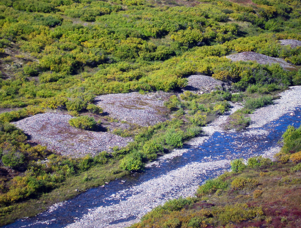
Humbolt Creek
A shallow gravely creek carries a small stream of water.
NPS Photo
Public domain
Image
Bering Land Bridge National Preserve, Code: BELA
Bering Land Bridge National Preserve, Alaska
Latitude: 66.2151489257813, Longitude: -165.126602172852
Latitude: 66.2151489257813, Longitude: -165.126602172852
07/17/2012
01/01/2001
Public Can View
Person: Guadalupe Zaragoza
Position: Visual Information Specialist
Email: Guadalupe_Zaragoza@nps.gov
Position: Visual Information Specialist
Email: Guadalupe_Zaragoza@nps.gov
Wednesday, May 16, 2018 4:17:45 PM
Wednesday, May 16, 2018 4:17:45 PM
humboldt_creek_16373681781_o.jpg
Monday, January 1, 0001 12:00:00 AM
jpg
3.7 MB