Select Item below to DOWNLOAD - Once item is selected, right click and choose 'save as'
00935590-9ddc-4361-921b-a2ffddebfb13
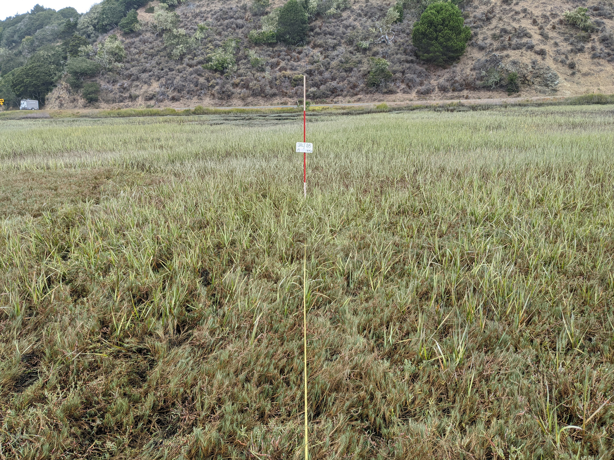
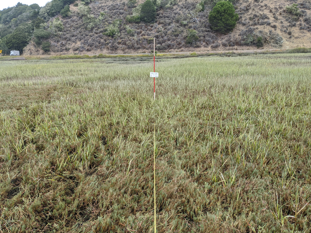
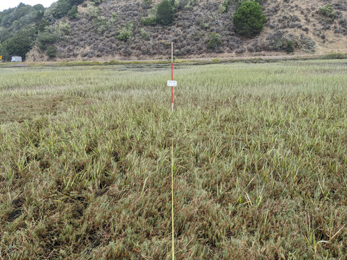
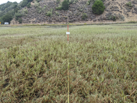
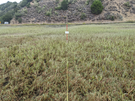
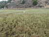
Coastal Salt Marsh: Plot SALT08, Transect A, 2022
Eye-level view from the center point of a plant community monitoring plot
SFAN Plant Community Photo Plot: Coastal Salt Marsh: Plot SALT08, Transect A, 2022
U.S. National Park Service
Copyright free and in the public domain
Public domain
SALT08, (SFAN Plant Community Plot Code)
, SALT, (SFAN Plant Community Type)
, Coastal Salt Marsh, (SFAN Plant Community Name)
, SALT, (SFAN Plant Community Type)
, Coastal Salt Marsh, (SFAN Plant Community Name)
Image
San Francisco Bay Area Network, Code: SFAN
Point Reyes National Seashore, Code: PORE
Point Reyes National Seashore, Code: PORE
Point Reyes National Seashore, Marin County, California
Latitude: 38.0550003051758, Longitude: -122.879997253418
Latitude: 38.0550003051758, Longitude: -122.879997253418
2022/08/18
08/18/2022
Public Can View
Person: Program Manager
Organization: US National Park Service
Address: San Francisco Bay Area Network, Sausalito, CA 94903
Organization: US National Park Service
Address: San Francisco Bay Area Network, Sausalito, CA 94903
Monday, December 8, 2025 6:14:20 PM
Monday, December 8, 2025 6:14:20 PM
SALT08A_20220818.jpg
jpg
10.7 MB
Monitoring