Select Item below to DOWNLOAD - Once item is selected, right click and choose 'save as'
fe7ca1a8-9684-4996-ba83-5a63dc56df2a
Rehabilitation of Peaks of Otter Dam at Blue Ridge Parkway in 2008
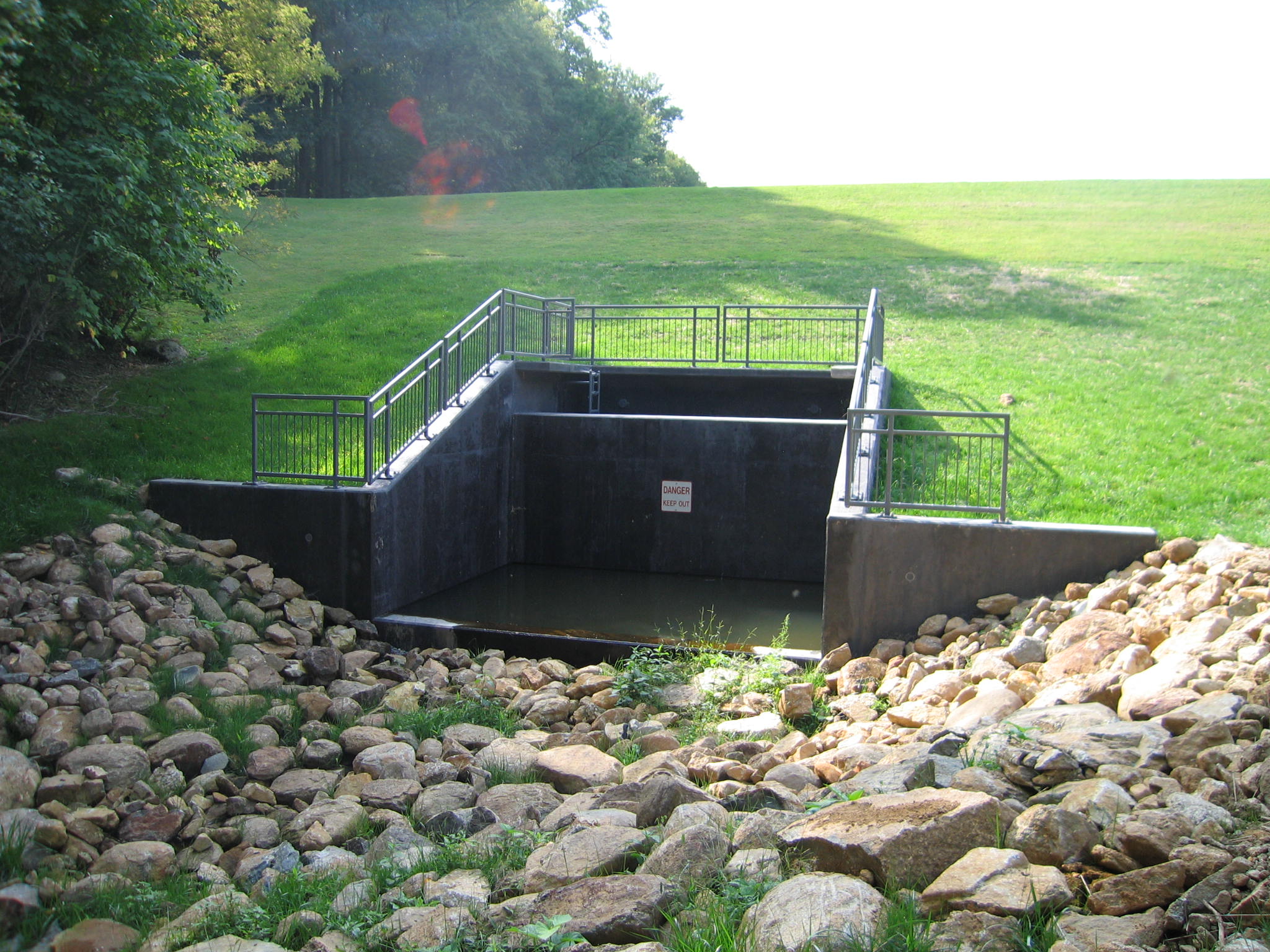
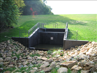
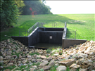
Peaks of Otter Dam creates Abbott Lake. This record shows work-in-progress and completion of a major repair project. Safety modifications addressed included unsatisfactory emergency spillway capacity, inadequate reduction of flow to receiving stream, insufficient operation of outlet works, and minimal toe drainage. However, additional archeological investigation determined a significant presence of artifacts exists which require redesign of safety modifications to not impact the area. Funding will be requested to complete safety modifications, including installation of concrete cellular matting and toe drain system.
impact basin, but funding required to complete safety modifications in light of archeological findings.
Lat/Long is 37°26'40"N 79°36'8"W
Permission must be secured from the individual copyright owners to reproduce any copyrighted materials contained within this website. Digital assets without any copyright restrictions are public domain.
Public domain
Image
Blue Ridge Parkway, Code: BLRI
Southeast Regional Office, Code: SERO
Southeast Regional Office, Code: SERO
Blue Ridge Parkway
Latitude: 36.4365005493164, Longitude: -81.070556640625
Latitude: 36.4365005493164, Longitude: -81.070556640625
09/23/2008
02/26/2008 - 09/22/2008
Public Can View
Monday, March 9, 2009 5:27:01 PM
Thursday, August 10, 2017 3:05:02 PM
BLRI-5b2ab178c5dc4460a4b0468a60ffae6e.jpg
Canon Canon, Canon PowerShot S60
1/250 sec at f / 2.8
5.8125 mm
Tuesday, September 23, 2008 8:37:28 PM
jpg
570.3 kB
Inventory
,
Budget
Rehabilitation of Peaks of Otter Dam at Blue Ridge Parkway in 2008
Rehabilitation of Peaks of Otter Dam at Blue Ridge Parkway in 2008
Rehabilitation of Peaks of Otter Dam at Blue Ridge Parkway in 2008
Rehabilitation of Peaks of Otter Dam at Blue Ridge Parkway in 2008
Rehabilitation of Peaks of Otter Dam at Blue Ridge Parkway in 2008
Rehabilitation of Peaks of Otter Dam at Blue Ridge Parkway in 2008