Select Item below to DOWNLOAD - Once item is selected, right click and choose 'save as'
FC5AA275-155D-4519-3E64ED7ACB5771E3
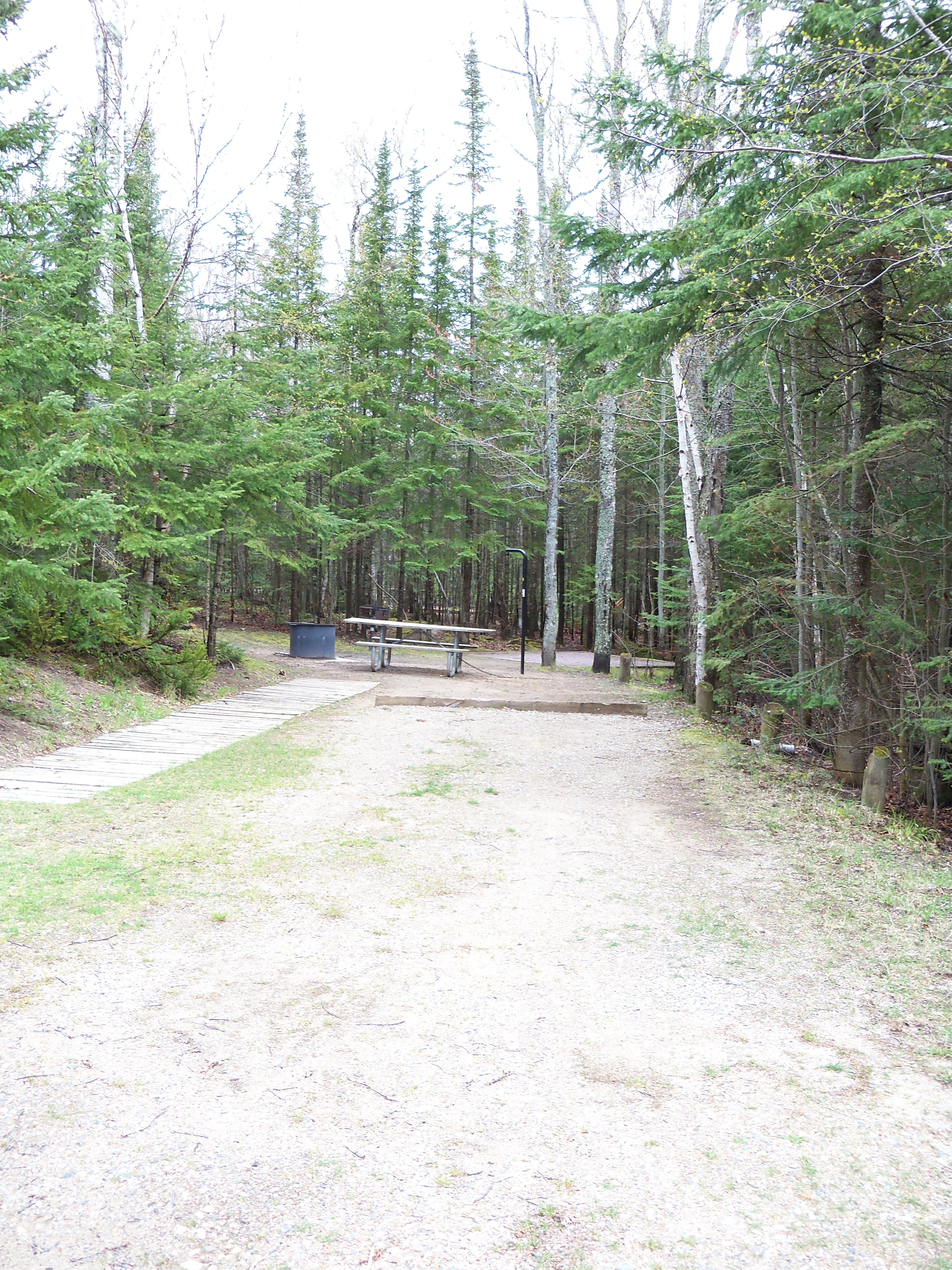
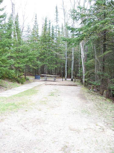
Hurricane River site 2 lower
Hurricane River site 2 lower - 32 feet
Hurricane River site 2 lower - 32 feet
U.S. National Park Service
Permission must be secured from the individual copyright owners to reproduce any copyrighted materials contained within this website. Digital assets without any copyright restrictions are public domain.
Public domain:Full Granting Rights
Image
Pictured Rocks National Lakeshore, Code: PIRO
Pictured Rocks National Lakeshore, Alger County, Michigan
Latitude: 46.513500213623, Longitude: -86.4669036865234
Latitude: 46.513500213623, Longitude: -86.4669036865234
5/18/2011 8:02:28 AM
Public Can View
Monday, April 22, 2019 10:26:44 AM
Monday, April 22, 2019 10:26:44 AM
FC5C793C-155D-4519-3E82AEAC41A9D71B.jpg
EASTMAN KODAK COMPANY EASTMAN KODAK COMPANY, KODAK EASYSHARE Z915 DIGITAL CAMERA
1/125 sec at f / 3.5
6.2 mm
ISO 100
Thursday, May 12, 2011 6:22:14 PM
jpg
7.0 MB
Scenic