Select Item below to DOWNLOAD - Once item is selected, right click and choose 'save as'
f6716979-5084-4d06-af6d-61ce759a97f9
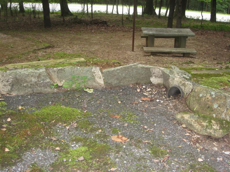
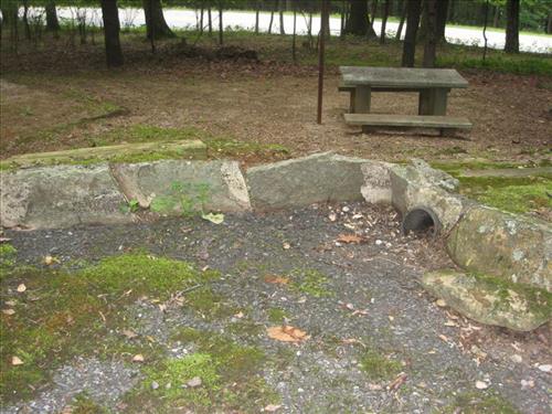
Peaks of Otter Campground, Blue Ridge Parkway
Overall site map
Typical camping site
Permission must be secured from the individual copyright owners to reproduce any copyrighted materials contained within this website. Digital assets without any copyright restrictions are public domain.
Public domain
Map, ()
Image
Blue Ridge Parkway, Code: BLRI
Peaks of Otter, VA, Blue Ridge Parkway
Latitude: 36.4365005493164, Longitude: -81.070556640625
Latitude: 36.4365005493164, Longitude: -81.070556640625
06/15/2009
05/01/2009 - 05/31/2009
Public Can View
Friday, December 4, 2009 12:40:29 PM
Thursday, August 10, 2017 1:36:37 PM
BLRI-beb12d30b9394018a731d2c57cb67ed1.jpg
Canon Canon, Canon PowerShot SD800 IS
1/60 sec at f / 3.5
7.564 mm
Monday, June 15, 2009 10:30:10 PM
jpg
123.6 kB
Map
,
Budget