Select Item below to DOWNLOAD - Once item is selected, right click and choose 'save as'
f56c2599-952e-4903-bbf0-3167cc088e0f
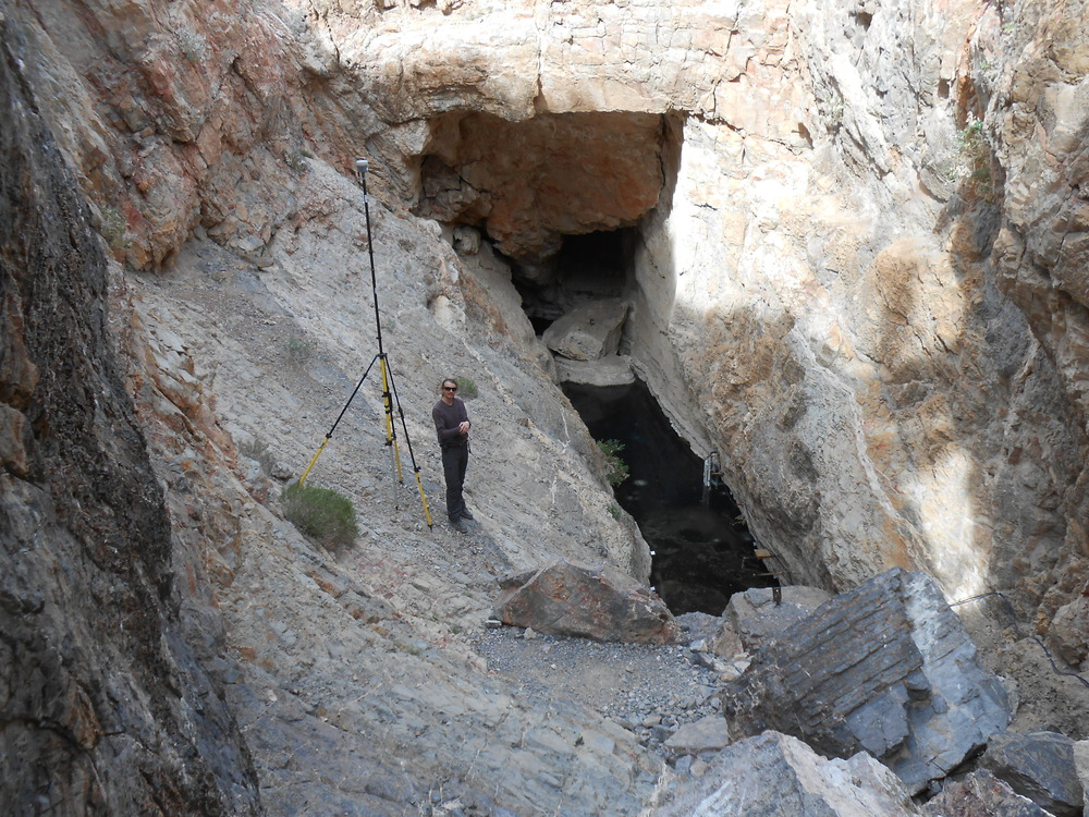
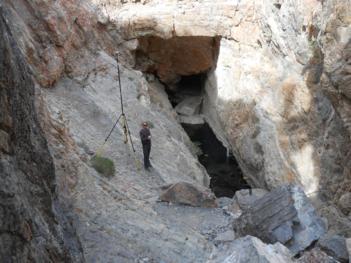
Devils Hole Survey DH-RM7 2016 24
Devil's Hole survey photo
Permission must be secured from the individual copyright owners to reproduce any copyrighted materials contained within this website. Digital assets without any copyright restrictions are public domain.
Public domain
Image
Death Valley National Park, Code: DEVA
Death Valley National Park
Latitude: 36.5675506591797, Longitude: -117.138999938965
Latitude: 36.5675506591797, Longitude: -117.138999938965
03/03/2016 | March 3, 2016
03/03/2016
Public Can View
Person: Tim Smith
Position: GPS Program Coordinator
Email: tim_smith@nps.gov
Position: GPS Program Coordinator
Email: tim_smith@nps.gov
Wednesday, June 3, 2020 6:20:00 PM
Wednesday, June 3, 2020 6:20:00 PM
DSCN1774.JPG
NIKON NIKON, COOLPIX S4300
10/2000 sec at f / 3.5
4.6 mm
ISO 80
Thursday, March 3, 2016 10:05:31 PM
jpg
1.9 MB
Monitoring
,
Inventory
,
Map