Select Item below to DOWNLOAD - Once item is selected, right click and choose 'save as'
f1f7c5b2-639e-4a0c-908c-3254edaa93f1
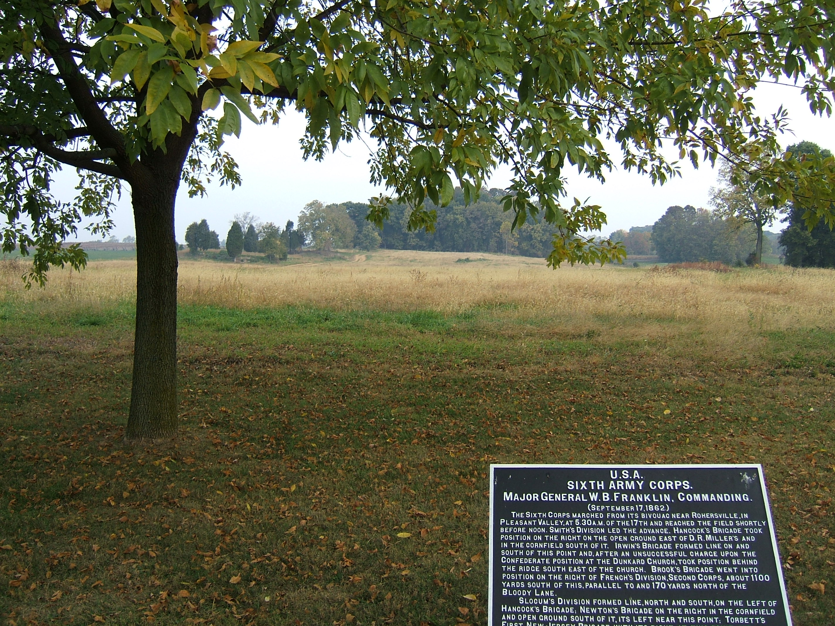
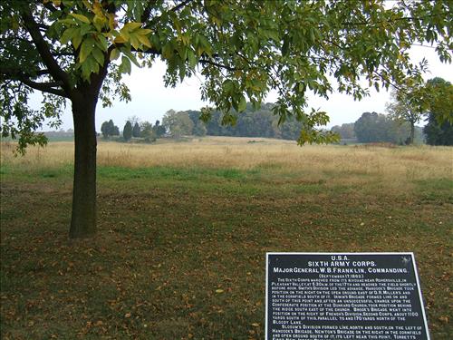
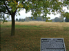
East Woods reforestation area at Antietam N.B.
Proposed reforestation zone for completing East Woods that is in Federal ownership.
East Woods reforestation area
Permission must be secured from the individual copyright owners to reproduce any copyrighted materials contained within this website. Digital assets without any copyright restrictions are public domain.
Public domain
Image
Antietam National Battlefield, Code: ANTI
East Woods, Antietam National Battlefield, Washington County, Maryland
Latitude: 39.470100402832, Longitude: -77.7380981445313
Latitude: 39.470100402832, Longitude: -77.7380981445313
10/18/2007
10/22/2007
Public Can View
Monday, October 22, 2007 8:11:42 AM
Thursday, August 10, 2017 12:51:35 PM
ANTI-3410adb7a2dd4c66aa094b2edd4a4cbe.jpg
FUJIFILM FUJIFILM, FinePix E550
10/2500 sec at f / 2.8
7.2 mm
ISO 100
Thursday, October 18, 2007 2:39:54 PM
jpg
1.6 MB
Budget