Select Item below to DOWNLOAD - Once item is selected, right click and choose 'save as'
f08e4ba1-7e8f-4e1b-bc95-365e9328e9f8
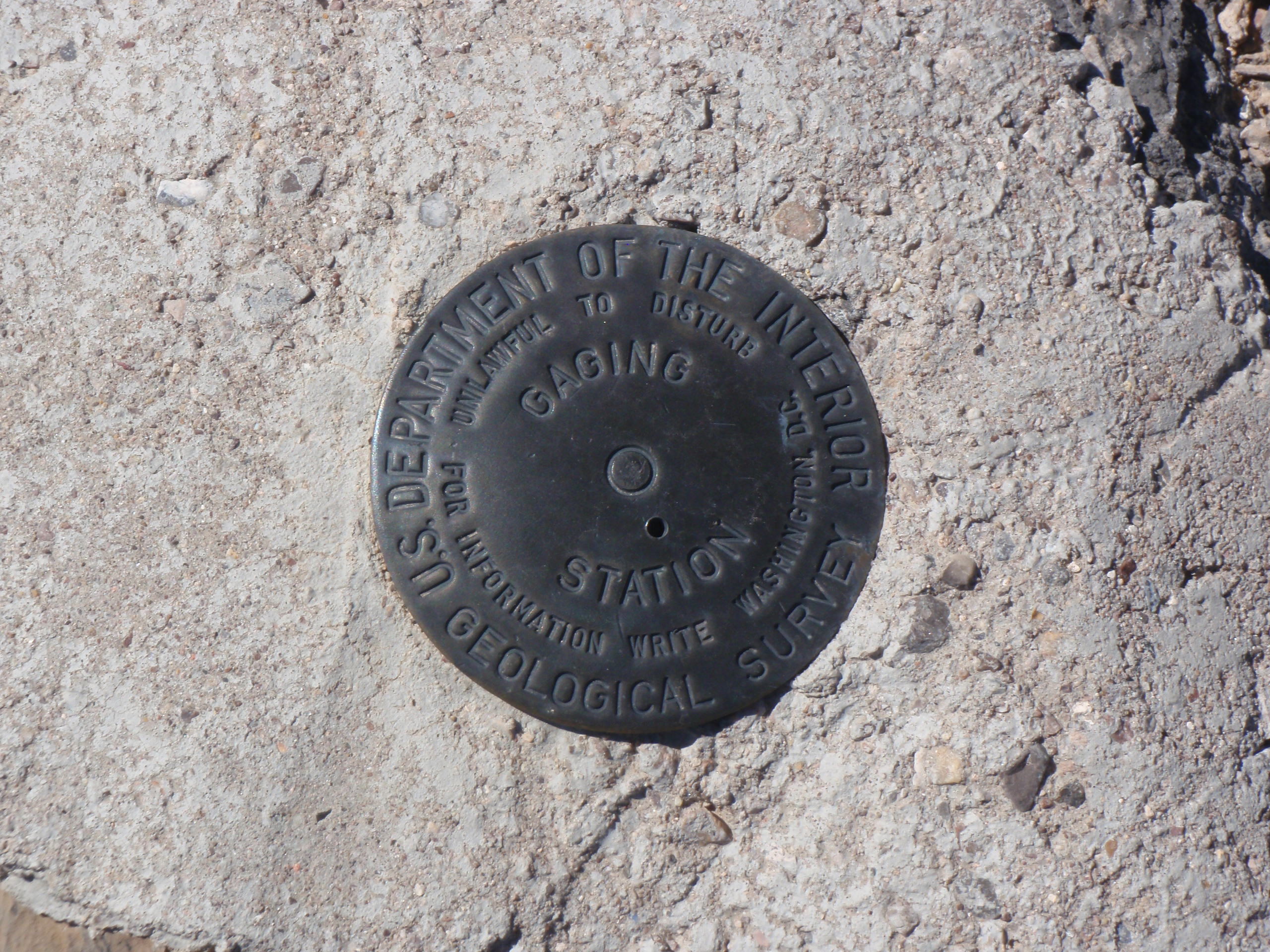
DH_BM3_MP4.JPG
Devil's Hole survey monumentation
OLYMPUS DIGITAL CAMERA
Permission must be secured from the individual copyright owners to reproduce any copyrighted materials contained within this website. Digital assets without any copyright restrictions are public domain.
Public domain
Image
Death Valley National Park, Code: DEVA
Death Valley National Park
Latitude: 36.5675506591797, Longitude: -117.138999938965
Latitude: 36.5675506591797, Longitude: -117.138999938965
11/07/2014
11/07/2014
Public Can View
Person: Tim Smith
Position: GPS Program Coordinator
Email: tim_smith@nps.gov
Position: GPS Program Coordinator
Email: tim_smith@nps.gov
Wednesday, June 3, 2020 8:42:43 PM
Wednesday, June 3, 2020 8:42:43 PM
DH_BM3_MP3.JPG
OLYMPUS IMAGING CORP. OLYMPUS IMAGING CORP., uT8000,ST8000
1/250 sec at f / 7.1
18.2 mm
ISO 64
Saturday, November 8, 2014 2:11:22 AM
jpg
1.0 MB
Monitoring
,
Inventory
,
Map