Select Item below to DOWNLOAD - Once item is selected, right click and choose 'save as'

ECD94642-E48C-BAD9-2CCA9A33F2DD5414
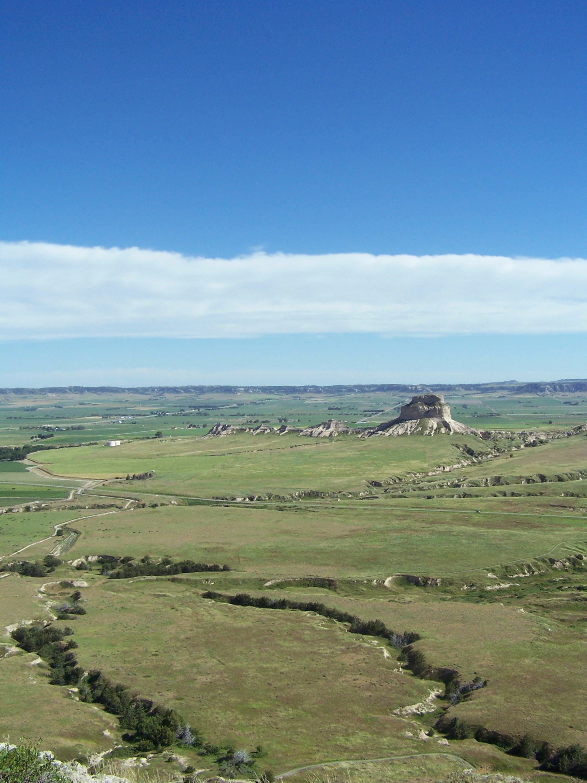
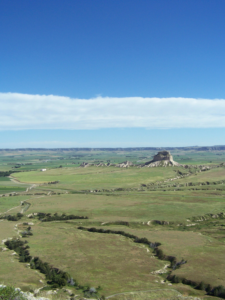
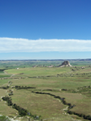
Dome Rock from the South Overlook
The tall butte known as Dome Rock is a prominent feature in an otherwise flat and open landscape.
Scotts Bluff National Monument. The view from the South Overlook shows Dome Rock, a topographic feature standing 4,396 feet above sea level. Before the name "Dome Rock" was officially adopted by the USGS on June 11, 1941, the butte was referred to by various monikers. These names have included Tower, Spire, Lighthouse, Castle, Church, and Cathedral Rock.
U.S. National Park Service
Permission must be secured from the individual copyright owners to reproduce any copyrighted materials contained within this website. Digital assets without any copyright restrictions are public domain.
NPS Park Cultural Landscapes Program
Public domain:Full Granting Rights
Image
Scotts Bluff National Monument, Code: SCBL
Park Cultural Landscapes Program, Code: PCLP
Park Cultural Landscapes Program, Code: PCLP
Latitude: 41.83667, Longitude: -103.70043
Scotts Bluff National Monument, Scotts Bluff County, Nebraska
Latitude: 41.8345985412598, Longitude: -103.707000732422
Scotts Bluff National Monument, Scotts Bluff County, Nebraska
Latitude: 41.8345985412598, Longitude: -103.707000732422
6/30/2014 1:36:00 PM
Public Can View
Wednesday, September 12, 2018 4:04:49 PM
Wednesday, September 12, 2018 4:04:49 PM
ECDAC907-B9E6-373A-4B5E683688D0E956.jpg
EASTMAN KODAK COMPANY EASTMAN KODAK COMPANY, KODAK Z740 ZOOM DIGITAL CAMERA
1/1000 sec at f / 4
6.3 mm
ISO 80
Friday, January 2, 2004 6:57:53 AM
jpg
1.9 MB
Scenic