Select Item below to DOWNLOAD - Once item is selected, right click and choose 'save as'
eb5d2c6c-ddac-42b9-b975-27c6b2efcc7f
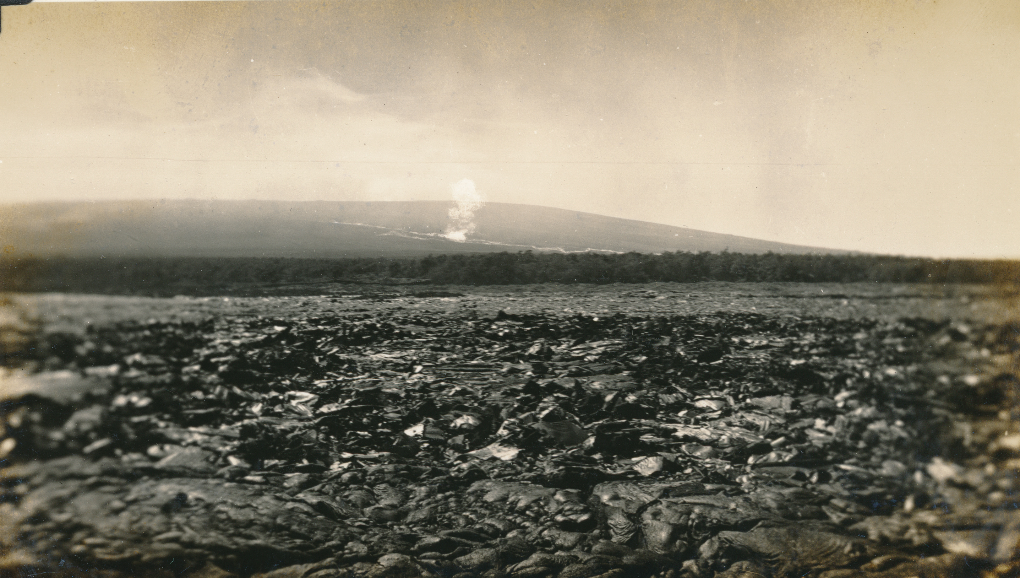
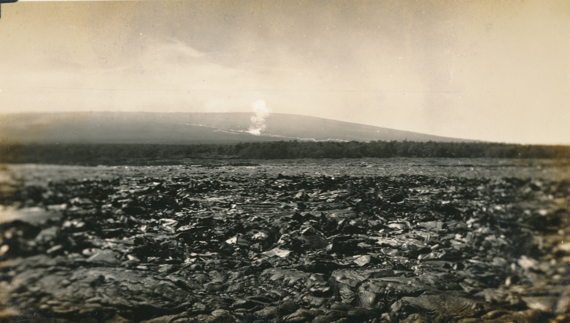
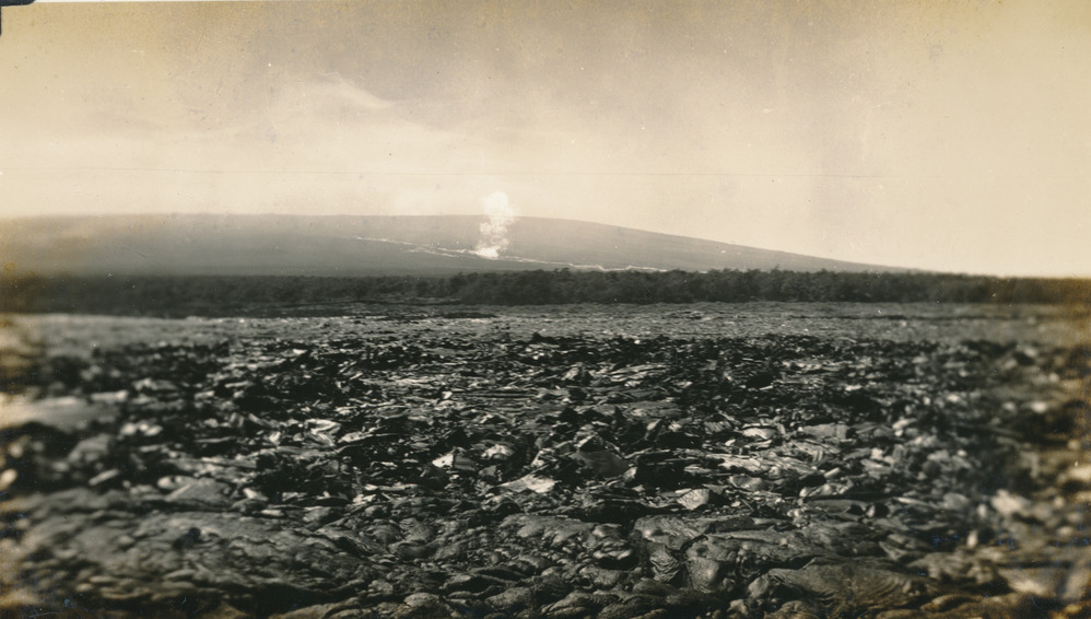
1935 Mauna Loa Bombing
A photograph of Mauna Loa being bombed.
This picture, somewhat retouched, shows the bombing. It was a direct channel hit resulting in molten lava being thrown high into the air. The cloud of smoke can be seen drifting away. The picture also shows the broad expanse of pahoehoe lava beds in the foreground.
Permission must be secured from the individual copyright owners to reproduce any copyrighted materials contained within this website. Digital assets without any copyright restrictions are public domain.
Photo Maehara, Picture No. 20.
Public domain:Full Granting Rights
Image
Hawaii Volcanoes National Park, Code: HAVO
Hawaii Volcanoes National Park, Hawaii County, Hawaii
Latitude: 19.3775997161865, Longitude: -155.602996826172
Latitude: 19.3775997161865, Longitude: -155.602996826172
12/20/1935
03/11/2021
Public Can View
Wednesday, May 17, 2023 12:34:42 AM
Wednesday, May 17, 2023 12:56:39 AM
Maehara 1935 11.jpg
Thursday, March 11, 2021 7:11:15 AM
jpg
2.5 MB
Scenic