Zion National Park, Utah
NPS Museum Accession Number : ZION-01134
Zion Legacy HPC Database Number : HPC-004828
Organization: Zion National Park
Position: Museum Curator
Address: Zion National Park, State Route 9, Springdale, UT 84767
Email: zion_museum@nps.gov
Finger canyons of the Kolob on Taylor Creek, northwest corner of the park. ; ZION Museum and Archives Image 9965 ; ZION 9965
Finger canyons of the Kolob on Taylor Creek, northwest corner of the park. ; ZION Museum and Archives Image 9964 ; ZION 9964
View from Lee's Pass, Horse Ranch Mountain in background. ; ZION Museum and Archives Image 9954 ; ZION 9954
View from Lee's Pass looking northeast. ; ZION Museum and Archives Image 9953 ; ZION 9953
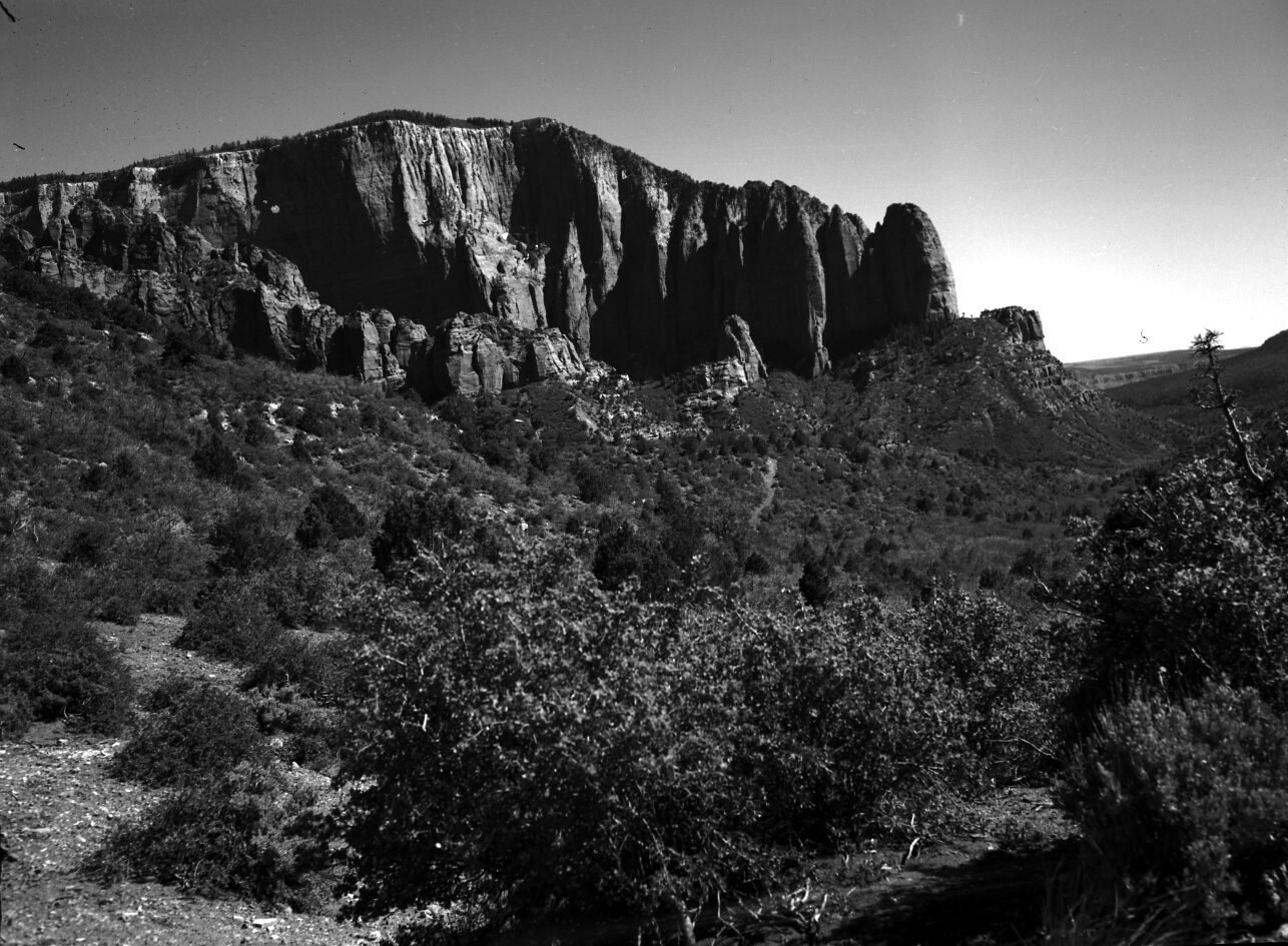
Nagunt Mesa south of Lee's Pass from Timber Creek trail. ; ZION Museum and Archives Image 9950 ; ZION 9950
Hop Valley. ; ZION Museum and Archives Image 9947 ; ZION 9947
The Great West Canyon (also called Left Fork of North Creek) from West Rim trail. ; ZION Museum and Archives Image 9925 ; ZION 9925
View west from West Rim trail, near Sleepy Hollow, Great West Canyon (also called Left Fork of North Creek) in foreground, Pine Valley Mountains in distance. ; ZION Museum and Archives Image 9924 ; ZION 9924
View west from West Rim trail. Pine Valley Mountains in distance, Great West Canyon (also called Left Fork of North Creek) in near foreground. ; ZION Museum and Archives Image 9923 ; ZION 9923
View west from West Rim trail into Great West Canyon (also called Left Fork of North Creek) from near Sleepy Hollow. ; ZION Museum and Archives Image 9922 ; ZION 9922
Southwesterly view from West Rim trail. ; ZION Museum and Archives Image 9921 ; ZION 9921
View from Spendlove Knoll looking southeast. West Temple on the horizon. ; ZION Museum and Archives Image 9791 ; ZION 9791
Kolob arch. ; ZION Museum and Archives Image 8996 ; ZION 8996
View along the Kolob Terrace road. ; ZION Museum and Archives Image 7623 ; ZION 7623
The 'Hourglass' in Hop Valley. ; ZION Museum and Archives Image 7212 ; ZION 7212
Kolob peaks. ; ZION Museum and Archives Image 7210 ; ZION 7210
La Verkin Creek with Navajo and Kayenta formations above drainage. ; ZION Museum and Archives Image 7196 ; ZION 7196
Big Cave in La Verkin Creek canyon. ; ZION Museum and Archives Image 7192 ; ZION 7192
Kolob finger canyons. ; ZION Museum and Archives Image 7191 ; ZION 7191
Gregory Butte view across La Verkin Creek from mouth of Hop Valley. ; ZION Museum and Archives Image 7159 ; ZION 7159
Horse Ranch Mountain and Tucupit Point. ; ZION Museum and Archives Image 7158 ; ZION 7158
Hop Valley view down canyon with person kneeling in foreground. ; ZION Museum and Archives Image 7150 ; ZION 7150
Kolob peaks with road in foreground. ; ZION Museum and Archives Image 7131 ; ZION 7131
42WS0069. B&W negative of Indian cave in Cave Valley for documenting pot hunter activities and vandalism. ; ZION Museum and Archives Image 14856 ; ZION 14856
42WS0069. Indian cave in Cave Valley for documenting pot hunter activities and vandalism. ; ZION Museum and Archives Image 14854 ; ZION 14854
42WS0069. Indian cave in Cave Valley for documenting pot hunter activities and vandalism. ; ZION Museum and Archives Image 14852 ; ZION 14852
Sandy flats. Pinyon and juniper growing in the Kolob section. ; ZION Museum and Archives Image 14700 ; ZION 14700
Kolob Canyons. ; ZION Museum and Archives Image 13423 ; ZION 13423
42WS0069. Indian cave in Cave Valley for documenting pot hunter activities and vandalism. ; ZION Museum and Archives Image 10616 ; ZION 10616
42WS0069. Indian cave in Cave Valley to document pot hunter activities. ; ZION Museum and Archives Image 10614 ; ZION 10614
View from Death Point. ; ZION Museum and Archives Image 10050 ; ZION 10050
View from Death Point. ; ZION Museum and Archives Image 10048 ; ZION 10048
Aerial view of finger canyons, Kolob section. ; ZION Museum and Archives Image 10043 ; ZION 10043
An aerial view of Kolob at the south end of finger canyons. ; ZION Museum and Archives Image 10037 ; ZION 10037
Tucupit Peak in Kolob section. From near three forks of Taylor Creek. ; ZION Museum and Archives Image 10021 ; ZION 10021
Tucupit Peak in Kolob section. From near three forks of Taylor Creek. ; ZION Museum and Archives Image 10020 ; ZION 10020
Tucupit Peak in Kolob section. From near three forks of Taylor Creek. ; ZION Museum and Archives Image 10019 ; ZION 10019
Tucupit Peak in Kolob section. Near three forks of Taylor Creek. ; ZION Museum and Archives Image 10018 ; ZION 10018