Select Item below to DOWNLOAD - Once item is selected, right click and choose 'save as'
e5b7405c-79ef-4bdf-8c32-7e5055ee2afd
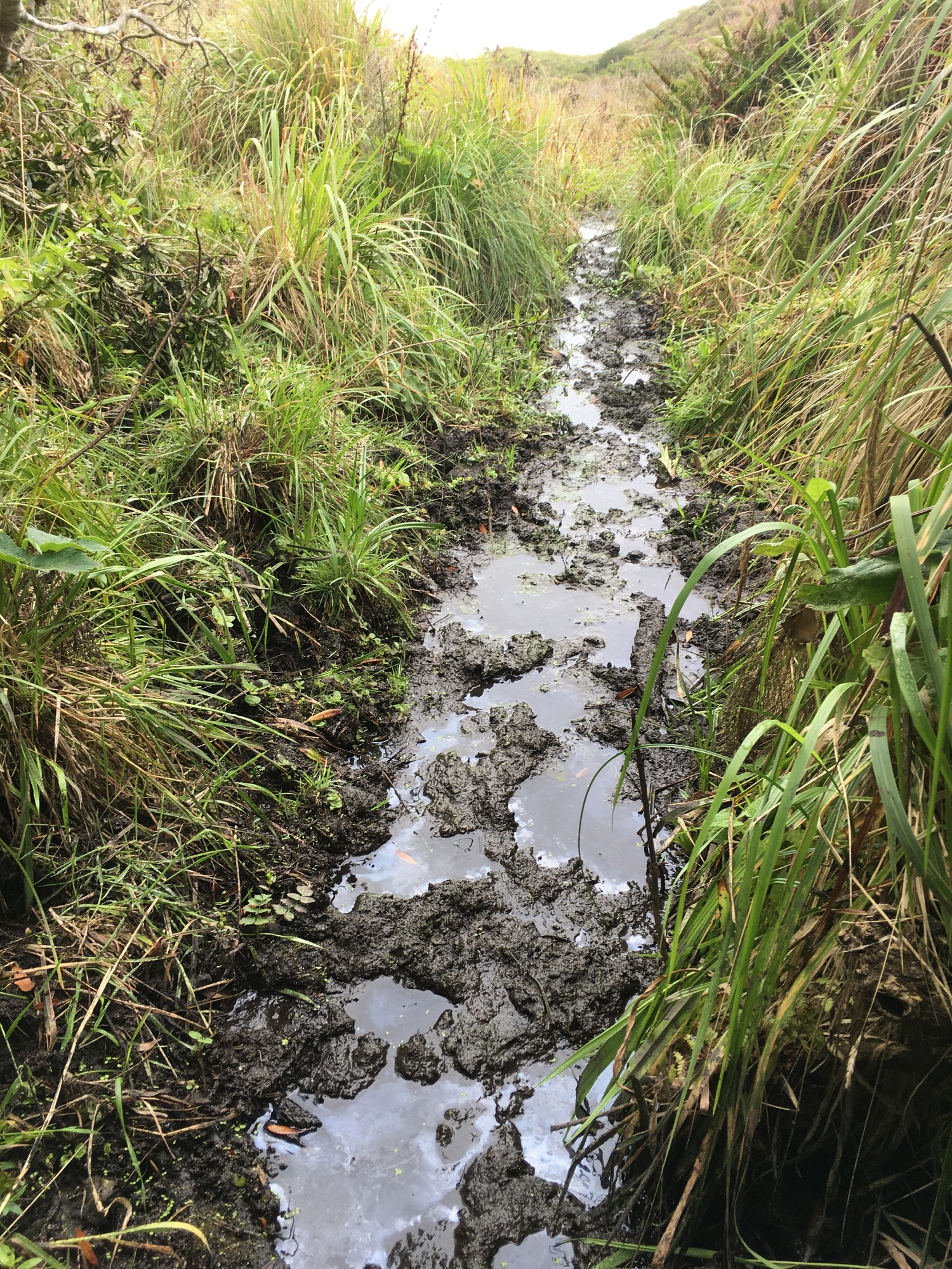
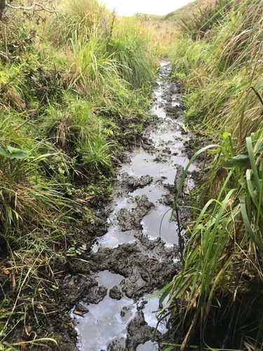
Tomales Point Water Sources: Middle-east Section: ME10b - September 3, 2020
A long stretch of pooled water, bordered on the left and right by tall grasses.
A second photograph of ME10, a 20-meter-long seep.
Permission must be secured from the individual copyright owners to reproduce any copyrighted materials contained within this website. Digital assets without any copyright restrictions are public domain.
NPS Photo
Public domain:Full Granting Rights
Image
Point Reyes National Seashore, Code: PORE
Tomales Point, Point Reyes National Seashore, Marin County, California
Latitude: 38.189046, Longitude: -122.953936
Latitude: 38.189046, Longitude: -122.953936
09/03/2020
09/03/2020
Public Can View
Thursday, September 10, 2020 4:59:56 PM
Thursday, September 10, 2020 4:59:56 PM
tomales_point_water_source_me10b_200903.jpg
Apple Apple, iPhone SE (1st generation)
1/145 sec at f / 2.2
4.15 mm
ISO 25
Thursday, September 3, 2020 6:44:46 PM
jpg
5.3 MB
Scenic