Select Item below to DOWNLOAD - Once item is selected, right click and choose 'save as'

e1bc76f8-f3a8-483f-8747-0ea81a4750bd
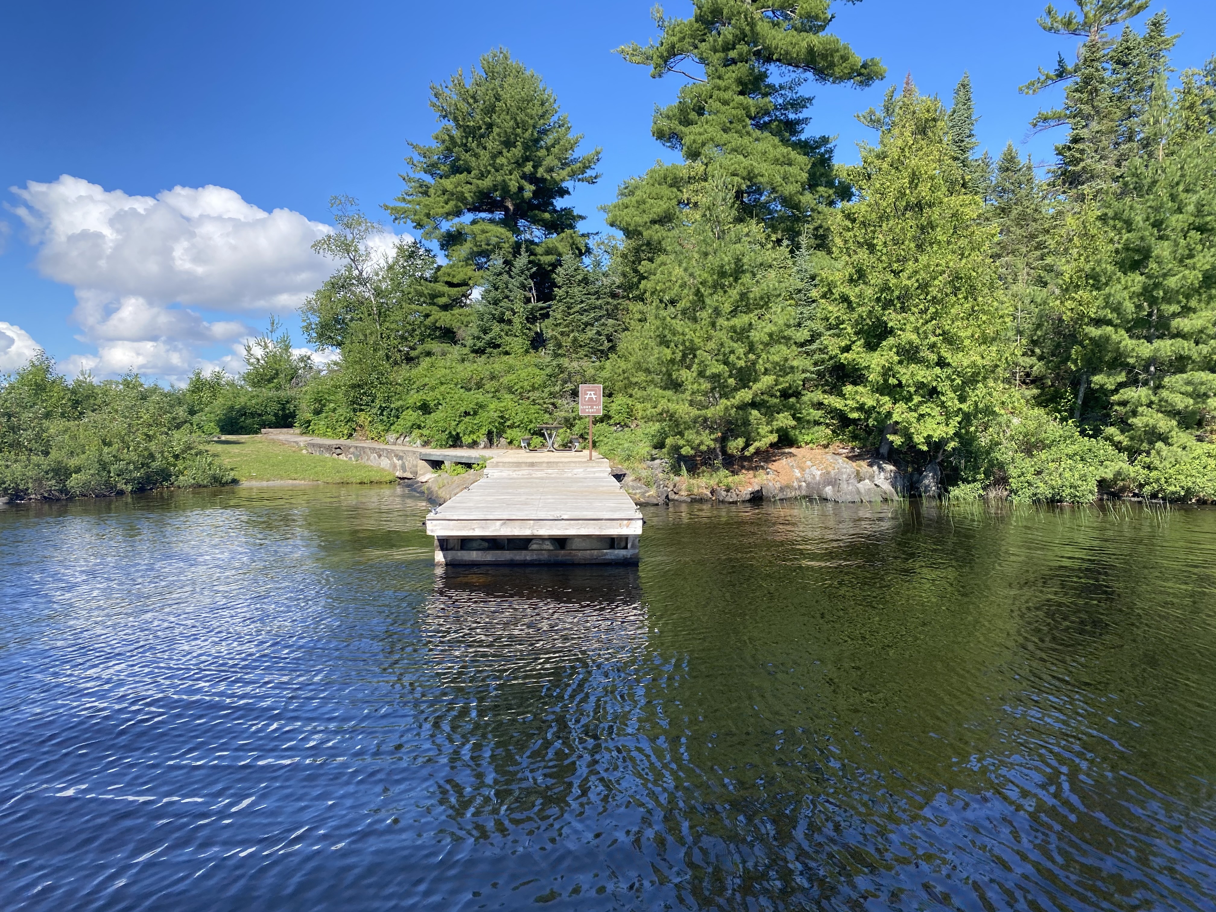
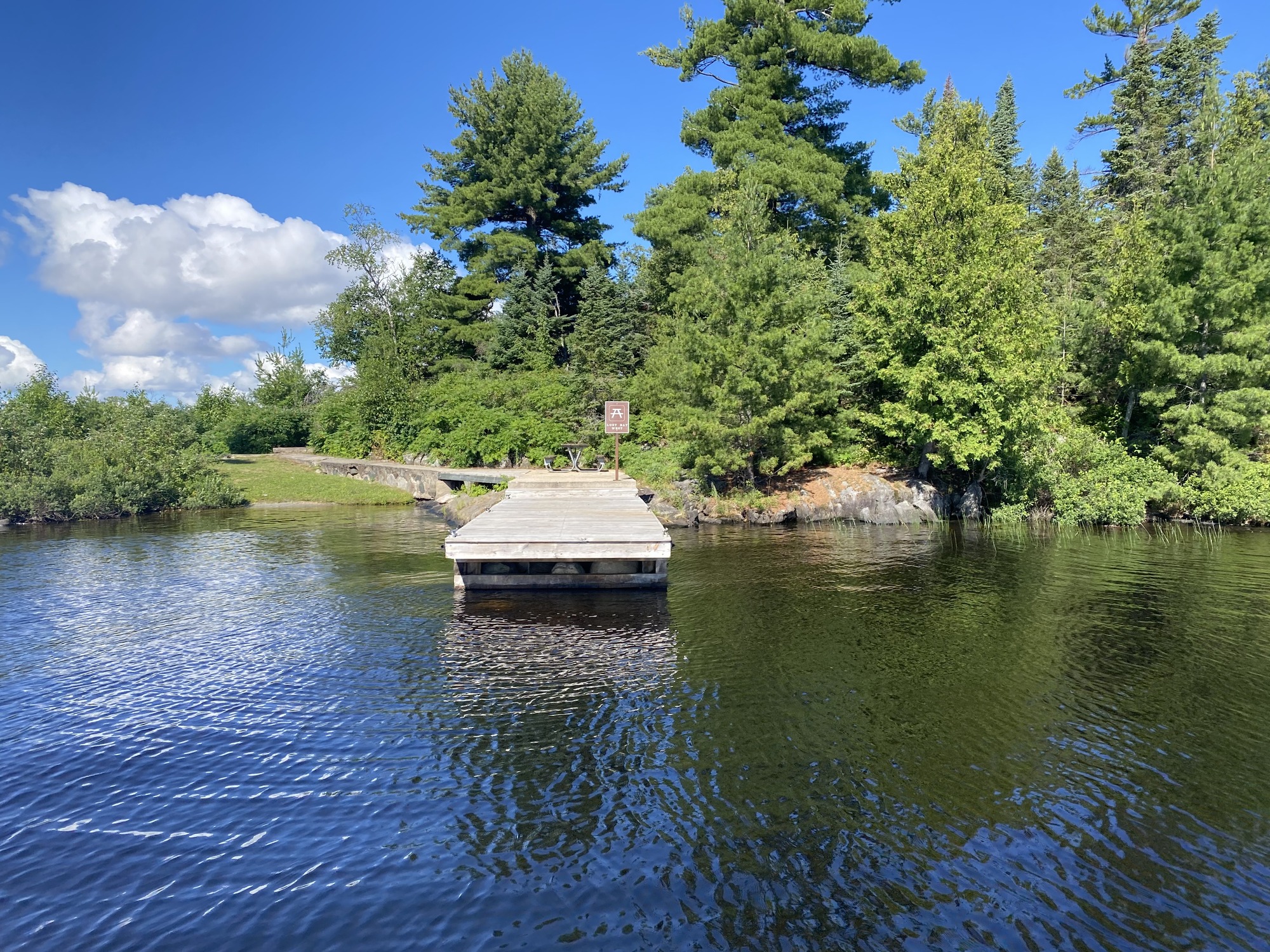
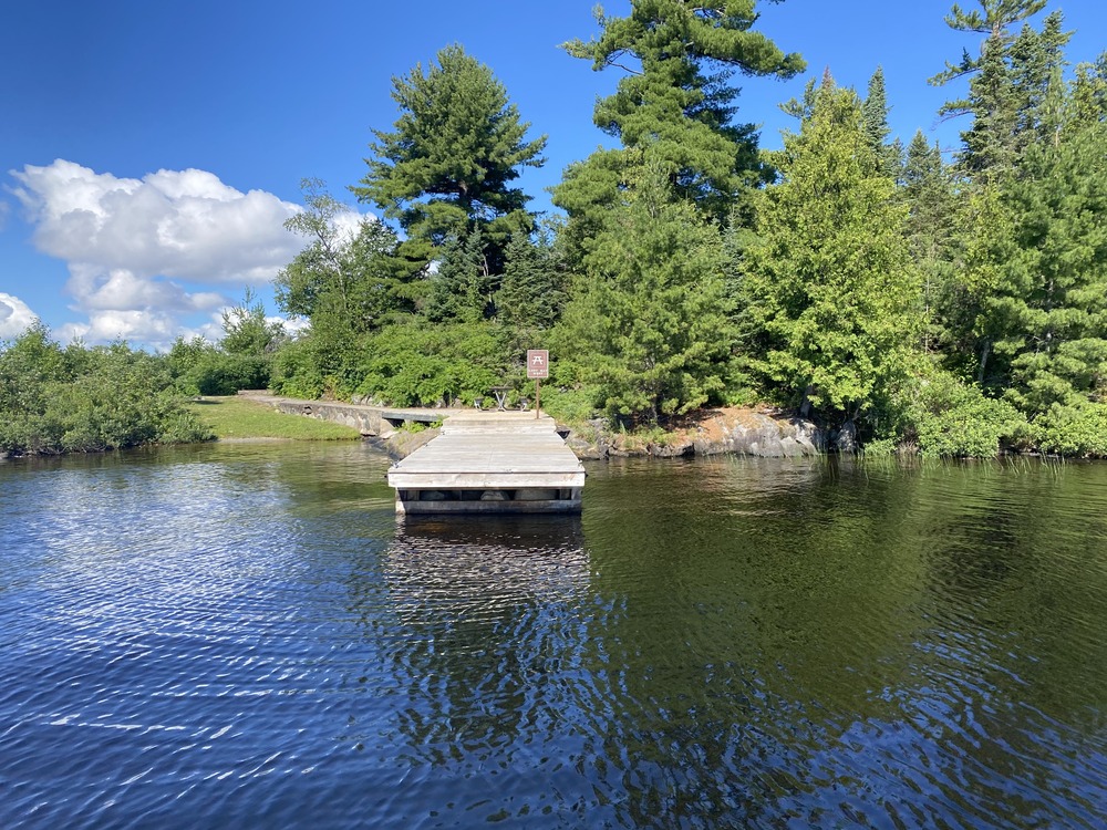
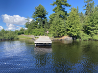
Day Use Lost Bay West at Rainy Lake, Dock mooring; From Water
A weathered wooden dock juts into calm, rippled water, with a sign at the end and a forested shoreline under a blue sky.
Voyageurs Day Use
U. S. National Park Service
This digital asset is in the public domain. When using this asset for any purpose, including online, credit: 'Courtesy U.S. National Parks'
Public domain
R94, (Voyageurs Map Number)
, Lost Bay West, (Voyageurs Site Name)
, DayUse, (Voyageurs Site Type)
, Rainy Lake, (Voyageurs Location)
, Dock, (Voyageurs Mooring)
, Lost Bay West, (Voyageurs Site Name)
, DayUse, (Voyageurs Site Type)
, Rainy Lake, (Voyageurs Location)
, Dock, (Voyageurs Mooring)
Image
Voyageurs National Park, Code: VOYA
Rainy Lake
Lost Bay West
Latitude: 48.599, Longitude: -92.998
Voyageurs National Park, Minnesota
Latitude: 48.48828125, Longitude: -92.8048095703125
Lost Bay West
Latitude: 48.599, Longitude: -92.998
Voyageurs National Park, Minnesota
Latitude: 48.48828125, Longitude: -92.8048095703125
2025/07/12
Public Can View
Person: Program Manager
Organization: US National Park Service
Address: Voyageurs National Park Headquarters, 360 Hwy 11 East, International Falls , MN 56649
Organization: US National Park Service
Address: Voyageurs National Park Headquarters, 360 Hwy 11 East, International Falls , MN 56649
Tuesday, July 21, 2026 2:34:15 PM
Tuesday, August 4, 2026 7:29:48 PM
From Water4.JPG
jpg
7.1 MB
Inventory