Select Item below to DOWNLOAD - Once item is selected, right click and choose 'save as'
e0ef78fe-0af5-4932-ae6e-6d3792c78285
Views at Pipe Spring National Monument, Arizona
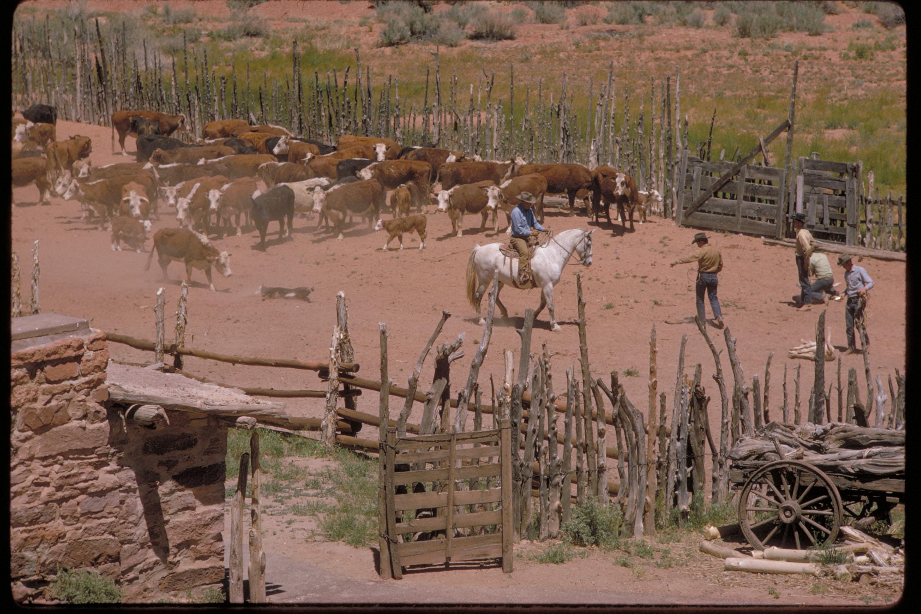
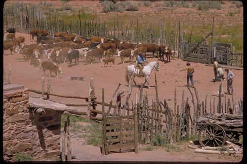
Pipe Spring National Monument, a little known gem of the National Park System, is rich with American Indian, early explorer and Mormon pioneer history. The water of Pipe Spring has made it possible for plants, animals, and people to live in this dry, desert region. Ancestral Puebloans and Kaibab Paiute Indians gathered grass seeds, hunted animals, and raised crops near the springs for at least 1,000 years. In the 1860s Mormon pioneers brought cattle to the area and by 1872 a fort (Winsor Castle) was built over the main spring and a large cattle ranching operation was established. This isolated outpost served as a way station for people traveling across the Arizona Strip, that part of Arizona separated from the rest of the state by the Grand Canyon. It also served as a refuge for polygamist wives during the 1880s and 1890s. Although their way of life was greatly impacted, the Paiute Indians continued to live in the area and by 1907 the Kaibab Paiute Indian Reservation was established, surrounding the privately owned Pipe Spring ranch. In 1923 the Pipe Spring ranch was purchased and set aside as a national monument. Today the Pipe Spring National Monument - Kaibab Band of Paiute Indians Visitor Center and Museum explains the human history of the area over time. Daily tours of Winsor Castle, summer "living history" demonstrations, an orchard and garden, and a half-mile trail offer a glimpse of American Indian and pioneer life in the Old West.
Cattle pens
National Park Service
Permission must be secured from the individual copyright owners to reproduce any copyrighted materials contained within this website. Digital assets without any copyright restrictions are public domain.
Public domain
National monuments, ()
, American history, ()
, Discovery and exploration of the Americas, ()
, Ranches, ()
, American history, ()
, Discovery and exploration of the Americas, ()
, Ranches, ()
Image
Pipe Spring National Monument, Code: PISP
Pipestone National Monument, Code: PIPE
Pipestone National Monument, Code: PIPE
Pipe Spring National Monument, Mohave County, Arizona
Latitude: 36.8628005981445, Longitude: -112.73999786377
Pipestone National Monument, Pipestone County, Minnesota
Latitude: 44.013500213623, Longitude: -96.3247985839844
Latitude: 36.8628005981445, Longitude: -112.73999786377
Pipestone National Monument, Pipestone County, Minnesota
Latitude: 44.013500213623, Longitude: -96.3247985839844
Legacy NPS Focus Record ID : 231893
Title: NPS Office of Communications and Public Affairs Photo Library
URL: http://www.nps.gov/pub_aff/imagebase.html
URL: http://www.nps.gov/pub_aff/imagebase.html
02/26/2004
01/01/1980 - 12/30/1999
Public Can View
Wednesday, September 29, 2004 6:26:22 PM
Thursday, August 10, 2017 11:12:01 AM
pisp_cattlepens_2123.jpg
Monday, January 1, 0001 12:00:00 AM
jpg
770.5 kB
Scenic