Select Item below to DOWNLOAD - Once item is selected, right click and choose 'save as'
df794163-51a4-47c0-99ac-78ddf2fcbc55
View of Southern Approach to Steel II Bridge Looking South
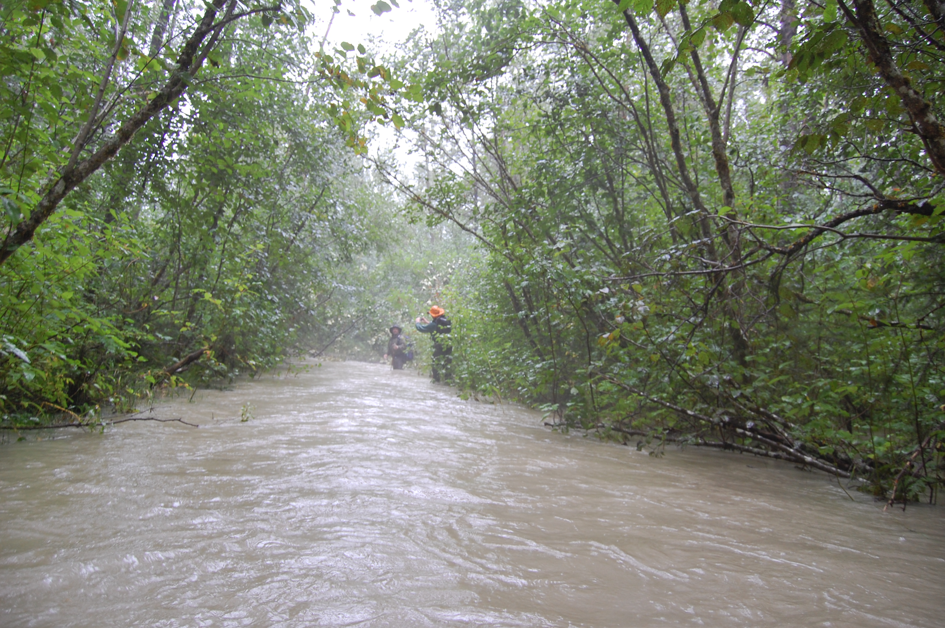
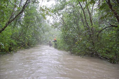
Section between mile 2.3 and 2.4 during flood stage of the Tiaya river. The goal is to move the trail to the left, west onto higher ground, and establish errosion control through this section.
Permission must be secured from the individual copyright owners to reproduce any copyrighted materials contained within this website. Digital assets without any copyright restrictions are public domain.
Public domain
Trails, ()
Image
Klondike Gold Rush National Historical Park, Code: KLGO
Klondike Gold Rush National Historical Park, Skagway Municipality, Alaska
Latitude: 59.6315994262695, Longitude: -135.292999267578
Latitude: 59.6315994262695, Longitude: -135.292999267578
08/29/2009
06/01/2009 - 08/31/2009
Public Can View
Thursday, December 10, 2009 2:46:39 PM
Thursday, August 10, 2017 11:07:05 AM
KLGO-5b9a4f31915b4683bcb6155c4b3accae.jpg
NIKON CORPORATION NIKON CORPORATION, NIKON D40
10/1000 sec at f / 5
18 mm
ISO 400
Saturday, August 29, 2009 7:40:16 PM
jpg
2.8 MB
Inventory
,
Budget