Select Item below to DOWNLOAD - Once item is selected, right click and choose 'save as'
defda5e2-5def-420a-abbc-382c4db59319
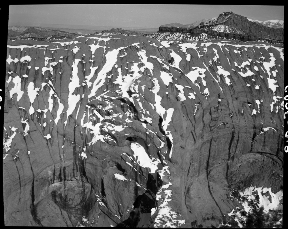
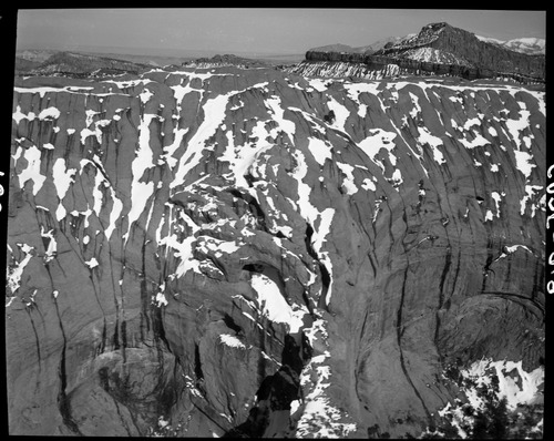
Aerial View of the Waterpocket Fold, date unknown.
Rock cliffs partially covered in snow, with distant mountains in the background.
Early National Park Service personnel explored the rugged, remote Capitol Reef region by air, to get an idea of what needed to be protected.
Permission must be secured from the individual copyright owners to reproduce any copyrighted materials contained within this website. Digital assets without any copyright restrictions are public domain.
NPS
Public domain:Full Granting Rights
Image
Capitol Reef National Park, Code: CARE
Capitol Reef National Park, Utah
Latitude: 38.1704216003418, Longitude: -111.14330291748
Latitude: 38.1704216003418, Longitude: -111.14330291748
04/16/2011
04/16/2011
Public Can View
Friday, December 18, 2020 2:47:00 PM
Friday, December 18, 2020 2:47:00 PM
CARE 0869 arial view waterpocket fold.jpg
Saturday, April 16, 2011 10:31:52 PM
jpg
1.7 MB
Scenic