Select Item below to DOWNLOAD - Once item is selected, right click and choose 'save as'
d45b7ebc7dfc4f22bcb31f7c953539c1
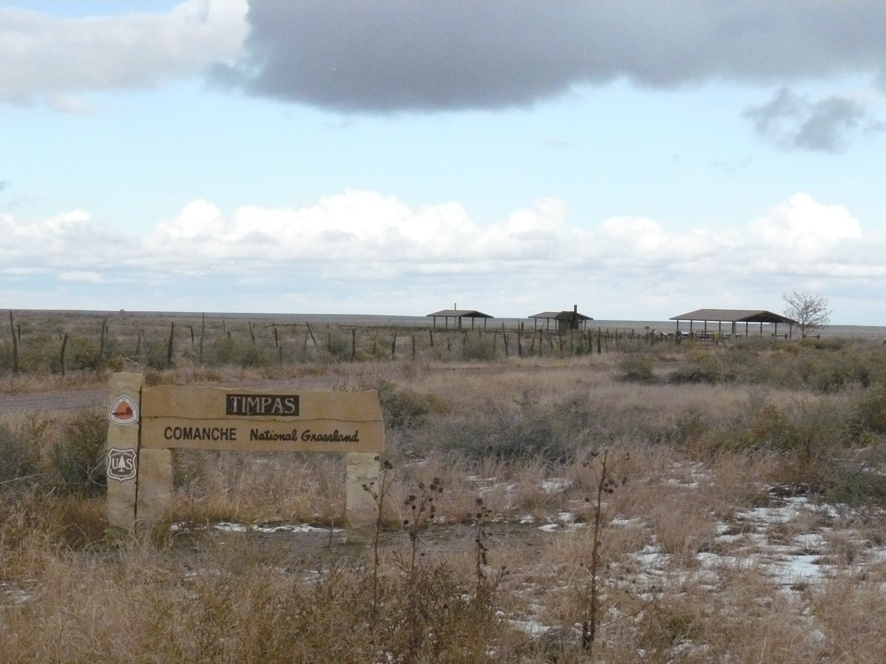
NTIR Sign at Timpas Creek Picnic Area in Comanche National Grassland (2)
NTIR Sign at Timpas Creek Picnic Area in Comanche National Grassland (2)
NTIR Sign at Timpas Creek Picnic Area in Comanche National Grassland (2) ; https://www.nps.gov/parkhistory/online_books/geology/publications/bul/613/sec9.htm
U.S. National Park Service
Permission must be secured from the individual copyright owners to reproduce any copyrighted materials contained within this website.
Public domain
Colorado, (SanteFe Trail State)
Image
Santa Fe National Historic Trail, Code: SAFE
Comanche National Grassland ; Timpas ; Timpas Creek, Otero County, Colorado
Santa Fe National Historic Trail
Latitude: 37.9892997741699, Longitude: -99.3414993286133
Santa Fe National Historic Trail
Latitude: 37.9892997741699, Longitude: -99.3414993286133
20111102
11/02/2011
Shot On: DMC-FZ8; Dimensions 2304 x 3072; Shot 1/1250 sec. f/8 16.2 mm; ISO 800; Size 2.2 MB
Organization: US National Park Service
Address: PO Box 728, Santa Fe, New Mexico 87504, Phone:(505) 988-6098
Email: ntir_information@NPS.gov
Address: PO Box 728, Santa Fe, New Mexico 87504, Phone:(505) 988-6098
Email: ntir_information@NPS.gov
Tuesday, November 3, 2020 5:21:50 PM
Tuesday, November 3, 2020 5:21:50 PM
SAFE_CO_OteroCounty_Timpas_ComancheNationalGrassland_TimpasCreek_20111102_NPS_(27).JPG
jpg
2.3 MB
Scenic
,
Historic