Select Item below to DOWNLOAD - Once item is selected, right click and choose 'save as'
d2f0d5a6-f6e2-4fcc-b47b-26a94bd2b8d5
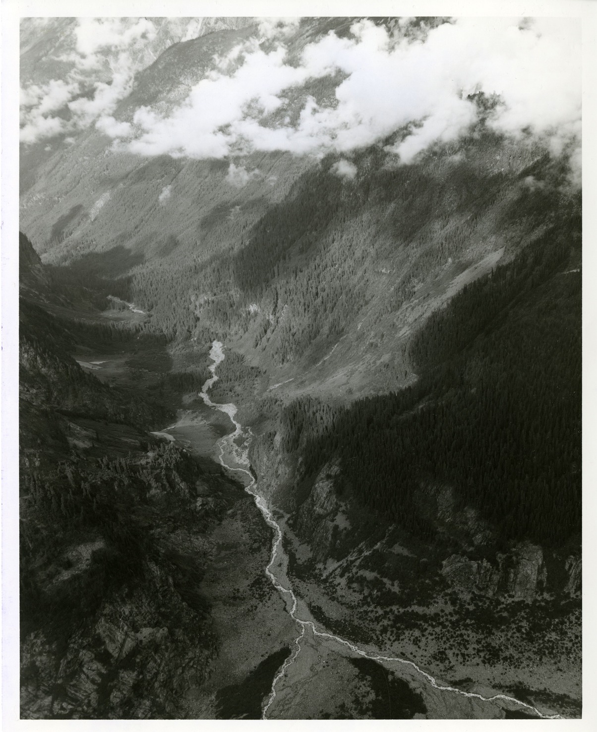
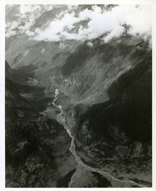
Thunder Creek Valley
Aerial view of a forested valley with a river winding through the middle.
Oblique aerial view down upper Thunder Creek Valley. (North Cascades NPS Complex Museum Collection, NOCA.0002 Assembled Collections, Series V: 1963 NPS North Cascades Survey Photographs)
U.S. National Park Service
This digital asset is in the public domain. When using this asset for any purpose, including online, credit: 'Courtesy of North Cascades NPS Complex Museum Collection, 1963 NPS North Cascades Survey Collection.'
NPS Photo
Public domain
Image
North Cascades National Park, Code: NOCA
North Cascades National Park, Washington
Latitude: 48.8278884887695, Longitude: -121.35050201416
Thunder Creek Valley
Latitude: 48.8278884887695, Longitude: -121.35050201416
Thunder Creek Valley
ICMS Archives Module : NOCA.0002.05.01
2022/06/14
01/01/1963 - 12/30/1963
B/W photographic print
Marblemount Curation Facility
William Woodbridge
Person: NOCA Curator
Organization: North Cascades NPS Complex
Position: Museum Curator
Address: 7280 Ranger Station Road, Marblemount, WA 98267
Email: NOCA_Curator@nps.gov.
Organization: North Cascades NPS Complex
Position: Museum Curator
Address: 7280 Ranger Station Road, Marblemount, WA 98267
Email: NOCA_Curator@nps.gov.
Friday, March 17, 2023 4:08:02 PM
Friday, March 17, 2023 4:08:02 PM
0002.05.01.101.tif
tif
170.6 MB
Historic
,
Inventory