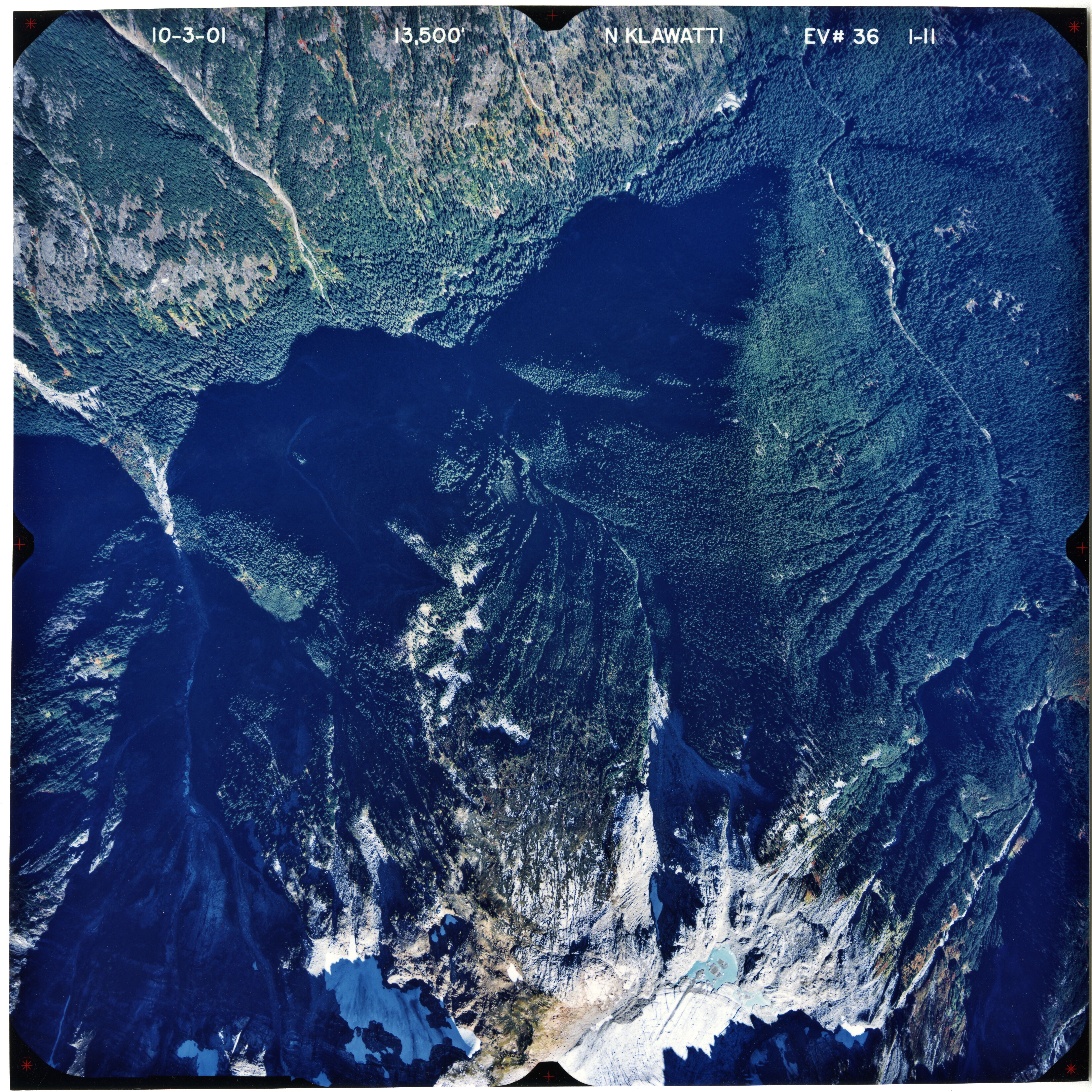
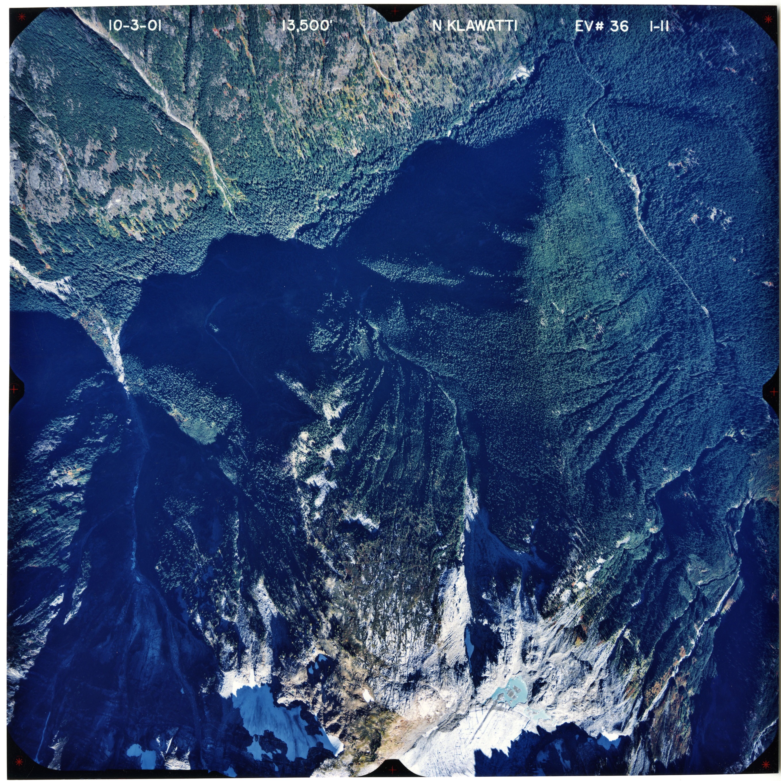
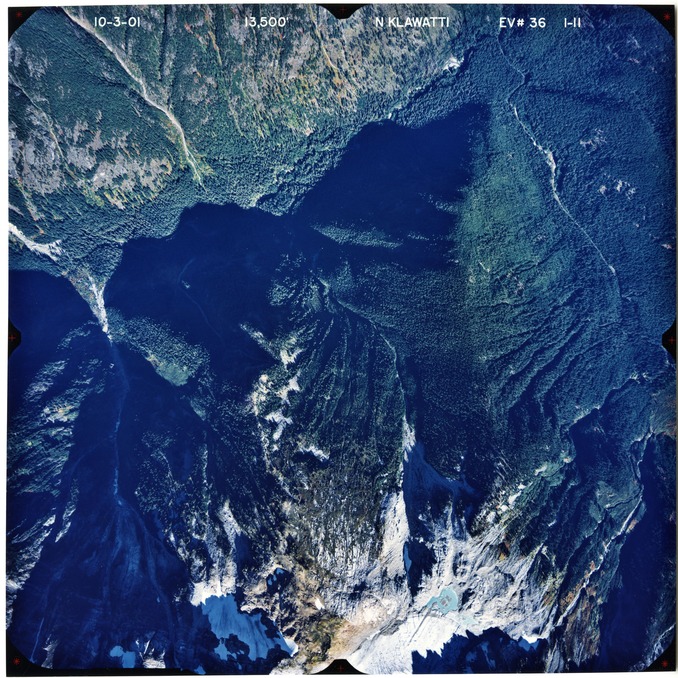
Color aerial photograph of glacier and snowfields on mountain peak, with forested valleys below peak.
Aerial photograph of North Klawatti Glacier, 2001, 11 of 11
U.S. National Park Service
This digital asset is in the public domain. When using this asset for any purpose, including online, credit: 'Courtesy of North Cascades NPS Complex Museum Collection, Aerial Photograph Collection.'