Latitude: 43.8190002441406, Longitude: -102.324996948242
FMSS (Location Number) : FMSS Location: 43372
FMSS (Asset Number) : FMSS Asset: 181466
Legacy NPS Focus Record ID : 460773
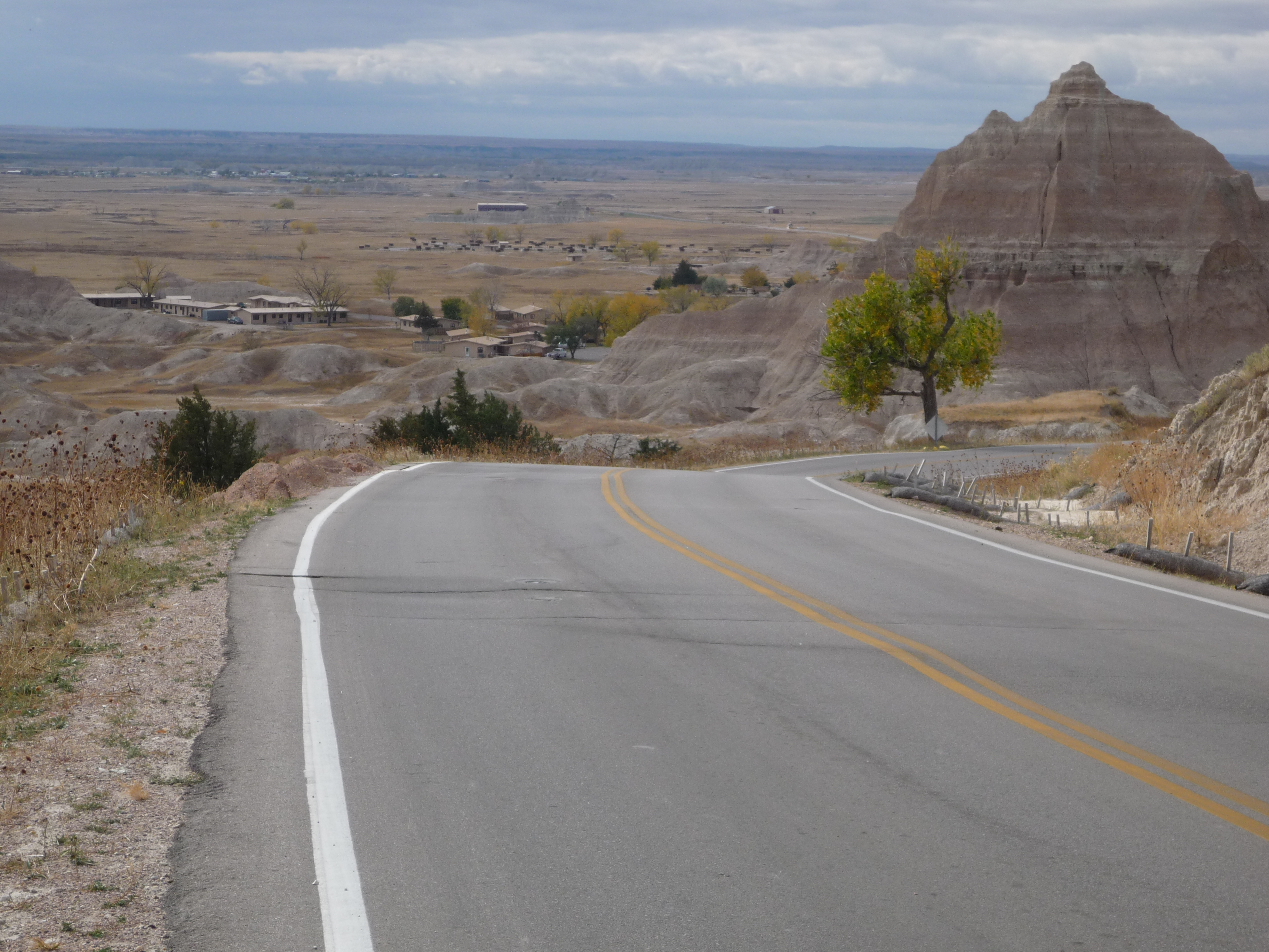
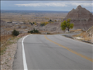
BADL Facility Management Collection: Loop Road - Cedar Pass Hill - MM 4 to MM 4.3
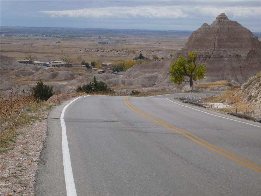
BADL Facility Management Collection: Loop Road - Cedar Pass Hill - MM 4 to MM 4.3
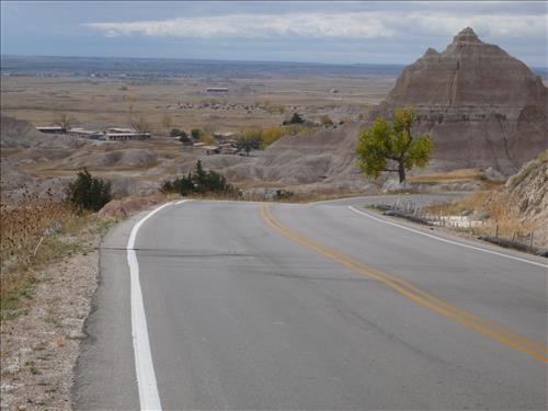
BADL Facility Management Collection: Loop Road - Cedar Pass Hill - MM 4 to MM 4.3
BADL Facility Management Collection: Loop Road - Cedar Pass Hill - MM 4 to MM 4.3
BADL Facility Management Collection: Loop Road - Cedar Pass Hill - MM 4 to MM 4.3
BADL Facility Management Collection: Loop Road - Cedar Pass Hill - MM 4 to MM 4.3
BADL Facility Management Collection: Loop Road - Cedar Pass Hill - MM 4 to MM 4.3
BADL Facility Management Collection: Loop Road - Cedar Pass Hill - MM 4 to MM 4.3
BADL Facility Management Collection: Loop Road - Cedar Pass Hill - MM 4 to MM 4.3
BADL Facility Management Collection: Loop Road - Cedar Pass Hill - MM 4 to MM 4.3
BADL Facility Management Collection: Loop Road - Cedar Pass Hill - MM 4 to MM 4.3
BADL Facility Management Collection: Loop Road - Cedar Pass Hill - MM 4 to MM 4.3
BADL Facility Management Collection: Loop Road - Cedar Pass Hill - MM 4 to MM 4.3
BADL Facility Management Collection: Loop Road - Cedar Pass Hill - MM 4 to MM 4.3