Select Item below to DOWNLOAD - Once item is selected, right click and choose 'save as'
c99e2daa-7abb-4ec7-a119-341595549cbe
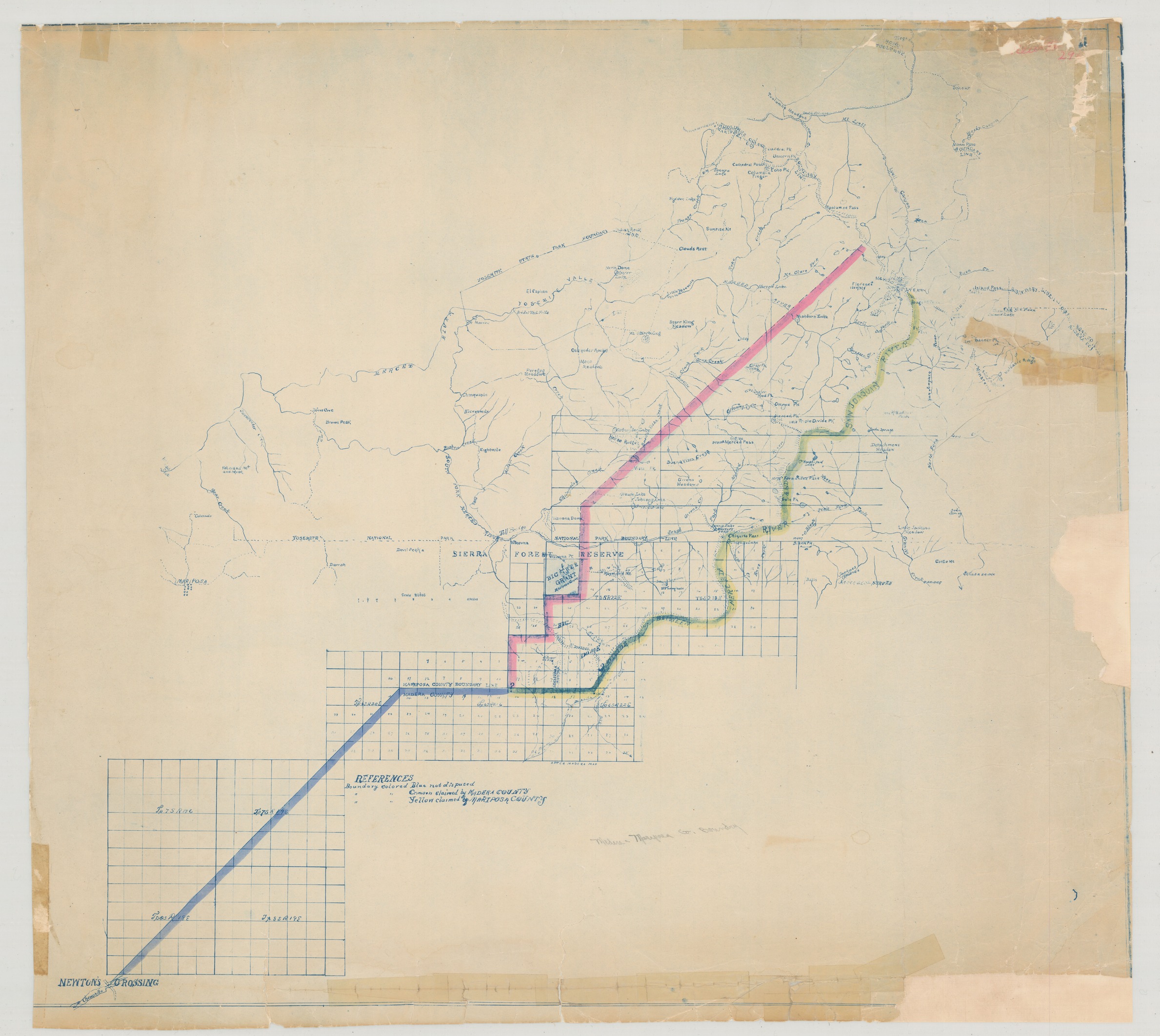
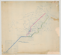
Madera-Mariposa Co. Boundary
Madera-Mariposa Co. Boundary
Map showing disputed boundary lines between Mariposa & Madera counties, including the area within Yosemite National Park, Sierra Forest Reserve, Big Tree Grant Mariposa Grove, Merced River, San Joaquin River, Chowchilla, and Newton's Crossing.
Item Number YOSEMCA0296, Scan Number: YOSE_MCA_-0149
Contact Yosemite National Park for more copyright information and use
Restrictions apply on use and/or reproduction
Image
Yosemite National Park, Code: YOSE
Yosemite National Park, California
Yosemite National Park, California
Latitude: 37.8399200439453, Longitude: -119.540397644043
Yosemite National Park, California
Latitude: 37.8399200439453, Longitude: -119.540397644043
Unknown Date
Unknown Date
Type: Diazo, Dimensions: 30 x 27
Public Can View
Person: Archivist
Organization: US National Park Service
Address: Yosemite National Park Archives, PO Box 700-W, El Portal, CA 95318
Email: yose_archives@nps.gov
Organization: US National Park Service
Address: Yosemite National Park Archives, PO Box 700-W, El Portal, CA 95318
Email: yose_archives@nps.gov
Tuesday, April 8, 2025 11:53:06 PM
Tuesday, April 8, 2025 11:53:06 PM
YOSEMCA0296.tif
tif
970.1 MB
Events
,
Map