Select Item below to DOWNLOAD - Once item is selected, right click and choose 'save as'
c8270a3a-79f3-4370-872a-bfcb45e70776
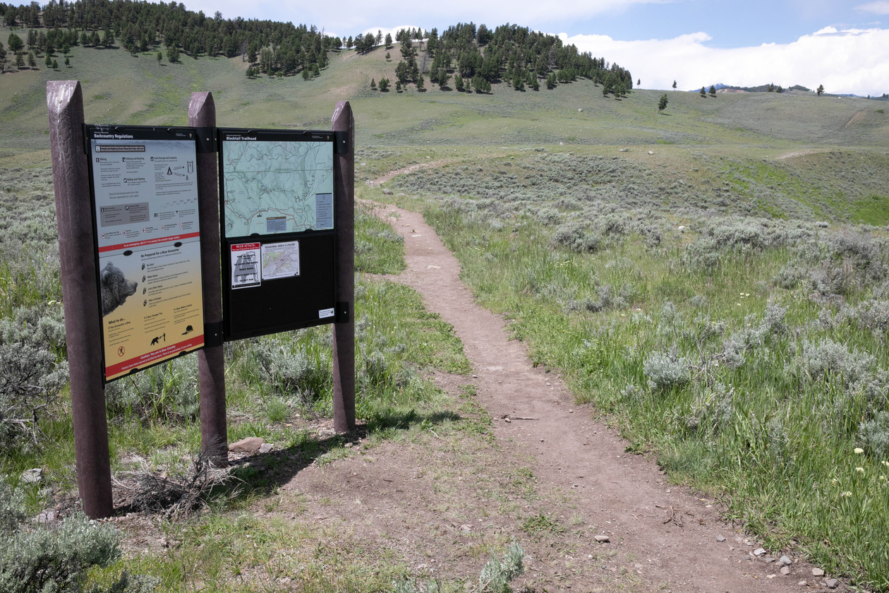
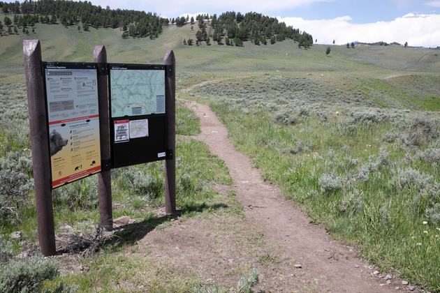
Blacktail Deer Creek Trailhead
A trail passes a sign on the right and continues out into sagebrush covered terrain.
Blacktail Deer Creek Trailhead
NPS
NPS/Diane Renkin
Public domain:Full Granting Rights
Image
Yellowstone National Park, Code: YELL
Yellowstone National Park
Latitude: 44.581298828125, Longitude: -110.490097045898
Latitude: 44.581298828125, Longitude: -110.490097045898
07/02/2019
07/02/2019
Public Can View
NPS/Diane Renkin;NPS
Thursday, October 24, 2019 10:32:05 AM
Thursday, October 24, 2019 10:32:05 AM
20190702-dmr-8005.jpg
Canon Canon, Canon EOS 5D Mark IV 1250, EF24-70mm f/2.8L II USM
1/800 sec at f / 14
35 mm
ISO 1250
Tuesday, July 2, 2019 8:00:30 PM
jpg
2.7 MB
Scenic