Select Item below to DOWNLOAD - Once item is selected, right click and choose 'save as'
c7eb9253-cb65-426e-a5dc-ac5dbfdab6aa
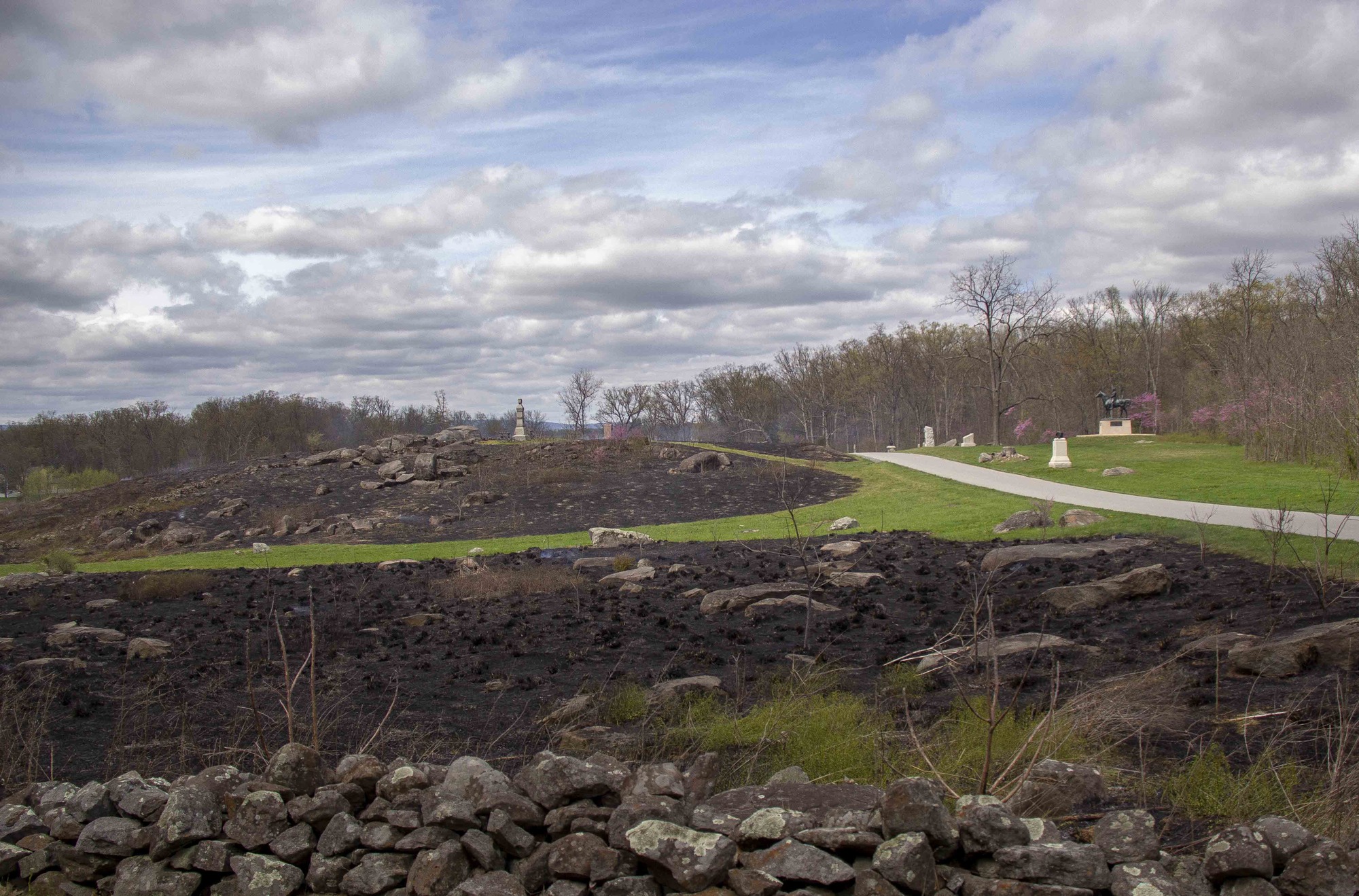
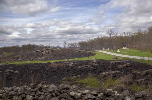
Sedgwick Avenue after the prescribed fire
A low stone wall, then a boulder strewn blackened area, then a strip of green grass, then another boulder strewn blackened area in the distance. Along the right is a road with another section of green grass and multiple monuments in front of a tree line.
The successfully burned Munshower field stands in stark contrast to the green fields immediately adjacent to the prescribed fire area.
Permission must be secured from the individual copyright owners to reproduce any copyrighted materials contained within this website. Digital assets without any copyright restrictions are public domain.
NPS Photo
Public domain:Full Granting Rights
Image
Gettysburg National Military Park, Code: GETT
Gettysburg National Military Park, Adams County, Pennsylvania
Latitude: 39.804500579834, Longitude: -77.2384033203125
Latitude: 39.804500579834, Longitude: -77.2384033203125
04/17/2021
04/17/2021
Public Can View
Monday, May 24, 2021 3:27:29 PM
Monday, May 24, 2021 3:27:29 PM
Jason_4-17-21_0159.jpg
Canon Canon, Canon EOS 60D 125, EF-S18-200mm f/3.5-5.6 IS
1/800 sec at f / 4
18 mm
ISO 125
Saturday, April 17, 2021 9:17:57 PM
jpg
785.2 kB
Scenic