Select Item below to DOWNLOAD - Once item is selected, right click and choose 'save as'
c5253a2e-29c8-4422-beb1-69b324f3883a
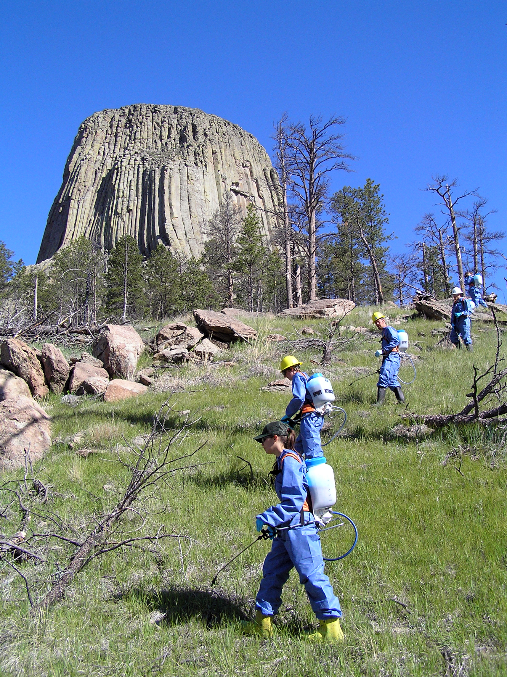
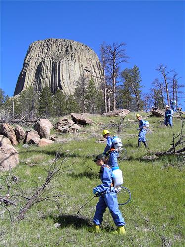
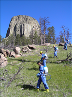
2006-2010 Meadow Restoration
Reason for or significance of image: the who, what, where, when, why and how
2006-2010 Meadow Restoration sequence showing herbicide, prescribed fire, tilling and seeding treatments
2003 exotic plant map
U.S. National Park Service
Permission must be secured from the individual copyright owners to reproduce any copyrighted materials contained within this website. Digital assets without any copyright restrictions are public domain.
Public domain
Image
Devils Tower National Monument, Code: DETO
Devils Tower National Monument, Crook County, Wyoming
Latitude: 44.5905990600586, Longitude: -104.716003417969
Latitude: 44.5905990600586, Longitude: -104.716003417969
06/03/2005
05/01/2006 - 09/29/2010
Public Can View
Friday, November 3, 2006 5:37:52 PM
Thursday, August 10, 2017 8:15:35 AM
DETO-3761130375f14743a0c87fd5a7c1e179.jpg
OLYMPUS CORPORATION OLYMPUS CORPORATION, C770UZ
10/5000 sec at f / 4
6.3 mm
ISO 64
Friday, June 3, 2005 3:09:51 PM
jpg
3.4 MB
Events
,
Inventory
,
Budget