Select Item below to DOWNLOAD - Once item is selected, right click and choose 'save as'
c3e85fa9-bdc5-4d2d-9a37-bba78f25e8f7
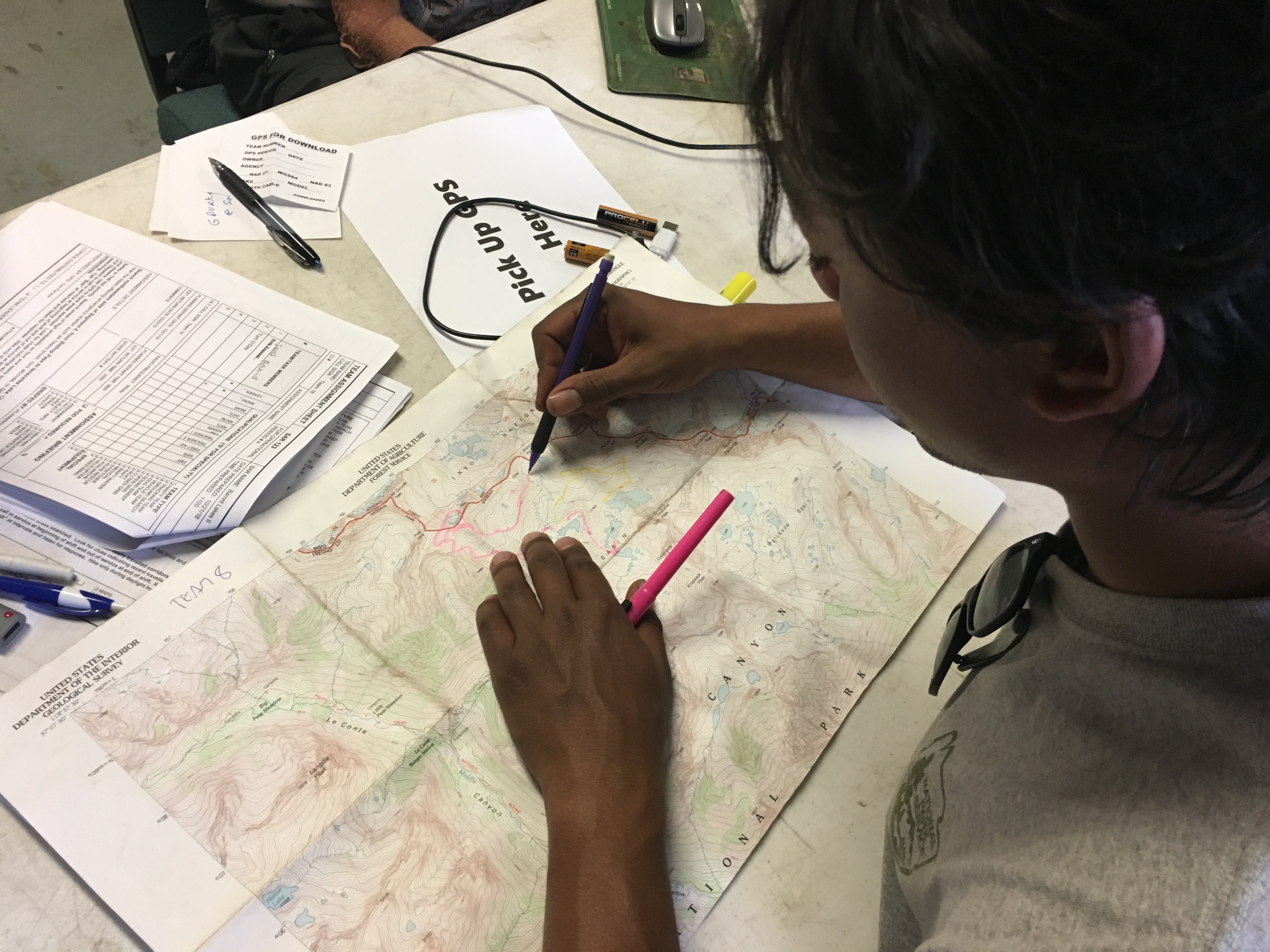
Planning with Topo Map
A staff member draws on a topographical map.
A staff member draws on a topographical map.
Permission must be secured from the individual copyright owners to reproduce any copyrighted materials contained within this website. Digital assets without any copyright restrictions are public domain.
NPS Photo
Public domain:Full Granting Rights
Image
Sequoia and Kings Canyon National Parks, Code: SEKI
Sequoia and Kings Canyon National Parks, California
Latitude: 36.7172584533691, Longitude: -118.537902832031
Latitude: 36.7172584533691, Longitude: -118.537902832031
10/23/2016
10/23/2016
Public Can View
Wednesday, May 24, 2023 6:14:43 PM
Thursday, May 25, 2023 5:49:23 PM
30453951161_7b44b259ed_o.jpg
Apple Apple, iPhone 6s 100, iPhone 6s back camera 4.15mm f/2.2
1/30 sec at f / 2.2
4.15 mm
ISO 100
Sunday, October 23, 2016 4:46:38 PM
jpg
2.3 MB
Scenic