Select Item below to DOWNLOAD - Once item is selected, right click and choose 'save as'


c306b844-237c-4eb1-8728-884e2073eadd
LAVO_DAL_3535.jpg
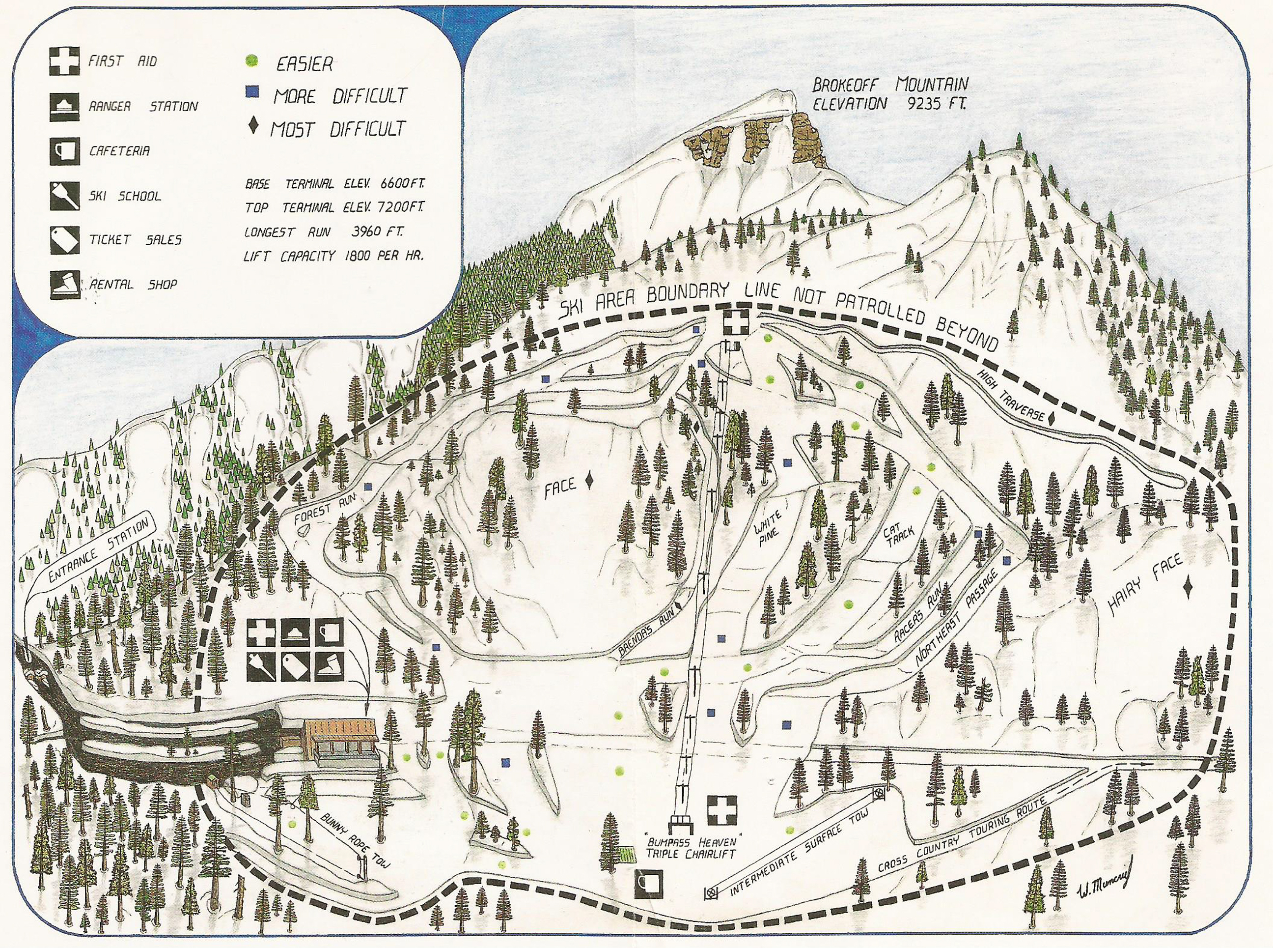
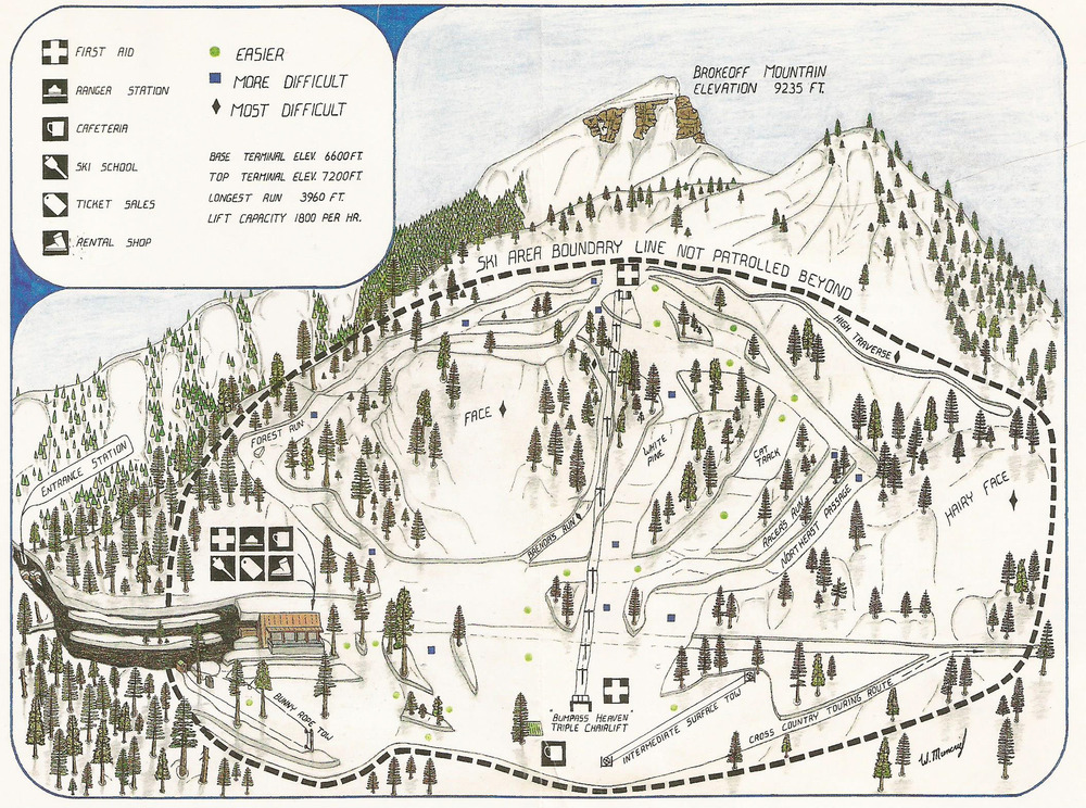
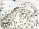
A map of a small ski area containing a chari lift, two rop tows, and seven runs.
A map of Lassen Park Ski Area in the Southwest Area from 1988.
Permission must be secured from the individual copyright owners to reproduce any copyrighted materials contained within this website. Digital assets without any copyright restrictions are public domain.
Public domain:Full Granting Rights
Image
Lassen Volcanic National Park, Code: LAVO
Lassen Volcanic National Park, California
Latitude: 40.4861793518066, Longitude: -121.412101745605
Latitude: 40.4861793518066, Longitude: -121.412101745605
1988
12/23/2021
Public Can View
Thursday, December 23, 2021 1:50:04 PM
Thursday, December 23, 2021 1:54:40 PM
LAVO_DAL_3535.jpg
Thursday, December 23, 2021 7:49:06 PM
jpg
3.9 MB
Scenic