Select Item below to DOWNLOAD - Once item is selected, right click and choose 'save as'
c172ad17-7d24-490a-9f42-81fc837e3d4a
Views at Ice Age National Scenic Trail, Wisconsin
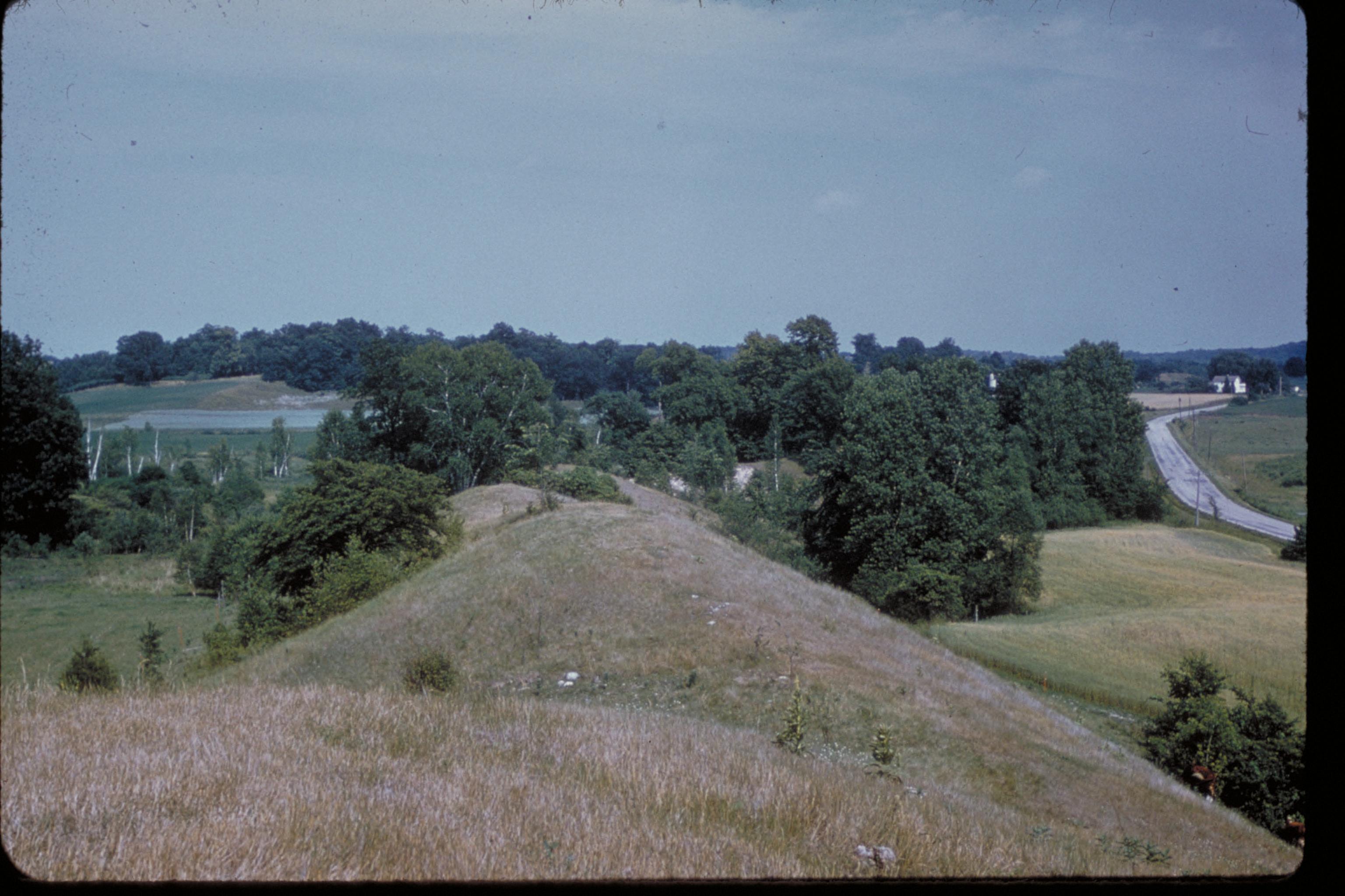
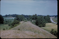
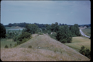
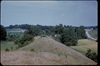
The Ice Age National Scenic Trail travels through the edges of the glacier that passed into Wisconsin. The glacier most recently flowed into Wisconsin about 25,000 years ago and reached its greatest extent, covering approximately two-thirds of the State, about 14,000 to 16,000 years ago before melting back. The retreat of the ice front was interrupted a number of times by readvances; the last one touched northwestern Wisconsin about 10,000 years ago. Streams flowing over, under, and beyond the glacier left deposits that vary our landscape. The conical hills of water-rounded sand and cobbles called kames, that stud parts of the Kettle Moraine, are deposits of streams that flowed downward through cracks in the ice. The sinuous eskers, such as the one near the Mondeaux Flowage in Taylor County and the Parnell Esker in Sheboygan County, are ridges of rounded sand and gravel deposited by streams that flowed through tunnels at the base of the glacier.
Example of an esker
National Park Service
Permission must be secured from the individual copyright owners to reproduce any copyrighted materials contained within this website. Digital assets without any copyright restrictions are public domain.
Public domain
Image
Ice Age National Scenic Trail, Code: IATR
Ice Age National Scenic Trail, Wisconsin
Latitude: 43.0775909423828, Longitude: -89.6168975830078
Latitude: 43.0775909423828, Longitude: -89.6168975830078
Legacy NPS Focus Record ID : 231847
Title: NPS Office of Communications and Public Affairs Photo Library
URL: http://www.nps.gov/pub_aff/imagebase.html
URL: http://www.nps.gov/pub_aff/imagebase.html
02/12/2004
01/01/1980 - 12/30/1999
Public Can View
Wednesday, September 29, 2004 6:26:20 PM
Thursday, August 10, 2017 7:50:19 AM
iatr_esker_1856.jpg
Monday, January 1, 0001 12:00:00 AM
jpg
575.4 kB
Scenic