Select Item below to DOWNLOAD - Once item is selected, right click and choose 'save as'
c0e7e088e2854573878cd97ac4523a66
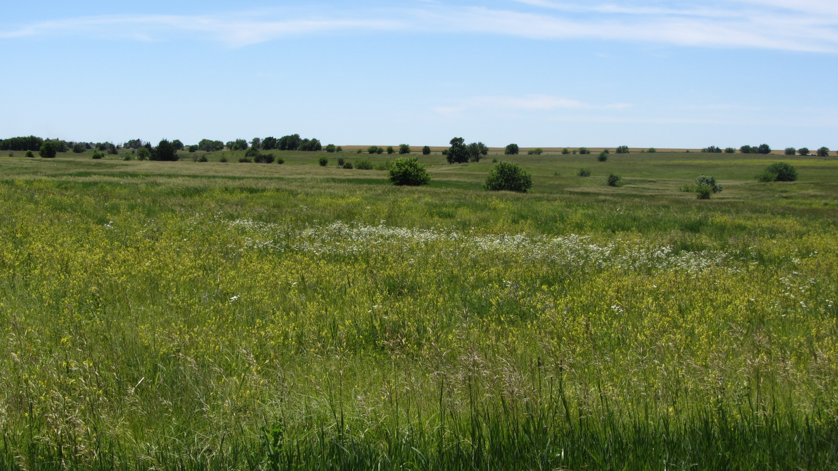
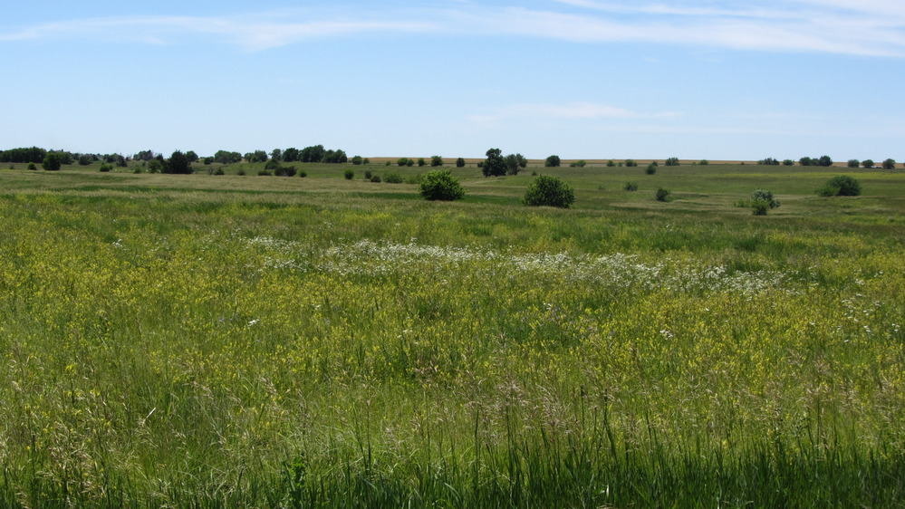
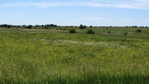
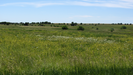
Views of the prairie at Lost Spring Station in Kansas
Views of a grassy field with tall grasses.
Lost Spring is 2.3 miles west of Lost Springs, KS on the north side of a paved road. The spring was a valuable source of water, and was also used as a trading ranch, stage station, and campground. The spring still flows and wagon ruts are visible nearby.
U.S. National Park Service
Permission must be secured from the individual copyright owners to reproduce any copyrighted materials contained within this website.
Public domain
Kansas, (SanteFe Trail State)
Image
Santa Fe National Historic Trail, Code: SAFE
Lost Springs ; Lost Spring Station, Marion County, Kansas
Santa Fe National Historic Trail
Latitude: 37.9892997741699, Longitude: -99.3414993286133
Santa Fe National Historic Trail
Latitude: 37.9892997741699, Longitude: -99.3414993286133
20160606
06/06/2016
Shot On: Canon PowerShot SX230 HS; Dimensions 2816 x 1584; Shot 1/800 sec. f/4 9.952mm; ISO 100; Size 1.6 MB
Public Can View
Organization: US National Park Service
Address: PO Box 728, Santa Fe, New Mexico 87504, Phone:(505) 988-6098
Email: ntir_information@NPS.gov
Address: PO Box 728, Santa Fe, New Mexico 87504, Phone:(505) 988-6098
Email: ntir_information@NPS.gov
Tuesday, November 3, 2020 3:36:45 PM
Tuesday, November 3, 2020 3:36:45 PM
SAFE_KS_MarionCounty_LostSprings_LostSpringStation_20160606_NPS_(03).JPG
jpg
1.6 MB
Scenic
,
Historic