Latitude: 43.7661018371582, Longitude: -101.956001281738
Pinnacles Area, Badlands National Park, Pennington County, South Dakota
Latitude: 43.8190002441406, Longitude: -102.324996948242
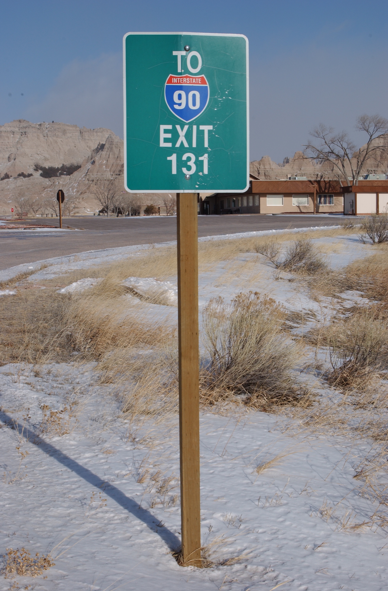
BADL-Loop_Road_(Route_10)-Traffic Signs
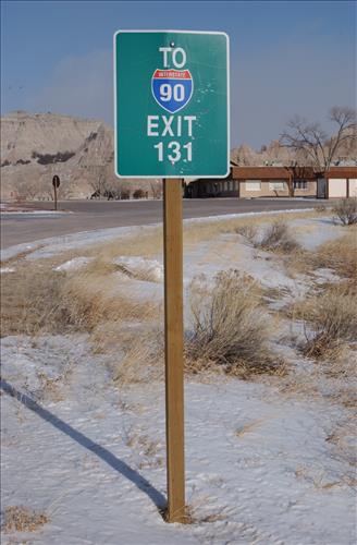
BADL-Loop_Road_(Route_10)-Traffic Signs
BADL-Loop_Road_(Route_10)-Traffic Signs
BADL-Loop_Road_(Route_10)-Traffic Signs
BADL-Loop_Road_(Route_10)-Traffic Signs
BADL-Loop_Road_(Route_10)-Traffic Signs
BADL-Loop_Road_(Route_10)-Traffic Signs
BADL-Loop_Road_(Route_10)-Traffic Signs
BADL-Loop_Road_(Route_10)-Traffic Signs
BADL-Loop_Road_(Route_10)-Traffic Signs
BADL-Loop_Road_(Route_10)-Traffic Signs
BADL-Loop_Road_(Route_10)-Traffic Signs
BADL-Loop_Road_(Route_10)-Traffic Signs
BADL-Loop_Road_(Route_10)-Traffic Signs