Select Item below to DOWNLOAD - Once item is selected, right click and choose 'save as'
bc6d8d1e-6baf-4a16-b649-51edae351ab6
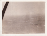
Aerial view of unidentified location, airplane visible in sky.
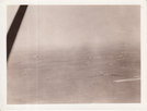
Aerial view of unidentified location, airplane visible in sky.
U.S. National Park Service
To the best of our knowledge we believe this image to be copyright free and in the public domain.
Public domain
Aviation, (EDIS Historical Photo Series Name)
Image
Thomas Edison National Historical Park, Code: EDIS
Thomas Edison National Historical Park, Essex County, New Jersey
Latitude: 40.7859992980957, Longitude: -74.2397994995117
Latitude: 40.7859992980957, Longitude: -74.2397994995117
unknown
unknown
Public Can View
Person: Archivist
Organization: Thomas Edison NHP
Address: West Orange, NJ 07052
Email: edis_archives@nps.gov
Organization: Thomas Edison NHP
Address: West Orange, NJ 07052
Email: edis_archives@nps.gov
Monday, February 1, 2021 2:44:30 PM
Monday, February 1, 2021 2:44:30 PM
04.100.9.jpg
jpg
254.4 kB
Historic