Select Item below to DOWNLOAD - Once item is selected, right click and choose 'save as'
bb8de3f5-8cf9-4ac0-99fb-e491da05c9b6
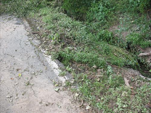
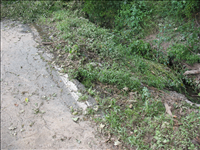
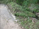
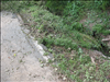
Hurricane Irene Damage to the Eshback Barn Road in August 2011
Damage to the Eshback Barn Road caused by Hurricane Irene August 2011
View of the Damage to the Eshback Barn Road from 209
Permission must be secured from the individual copyright owners to reproduce any copyrighted materials contained within this website. Digital assets without any copyright restrictions are public domain.
Public domain
Image
Delaware Water Gap National Recreation Area, Code: DEWA
Delaware Water Gap National Recreation Area
Latitude: 41.1003189086914, Longitude: -74.9569320678711
Latitude: 41.1003189086914, Longitude: -74.9569320678711
08/30/2011
09/02/2011
Public Can View
Wednesday, November 2, 2011 7:46:26 AM
Thursday, August 10, 2017 7:24:25 AM
DEWA-5812161424b8423c9701fe4bb03f82f9.jpg
Canon Canon, Canon PowerShot A630
1/80 sec at f / 2.8
7.3 mm
Tuesday, August 30, 2011 9:49:23 PM
jpg
3.8 MB
Monitoring
,
Budget