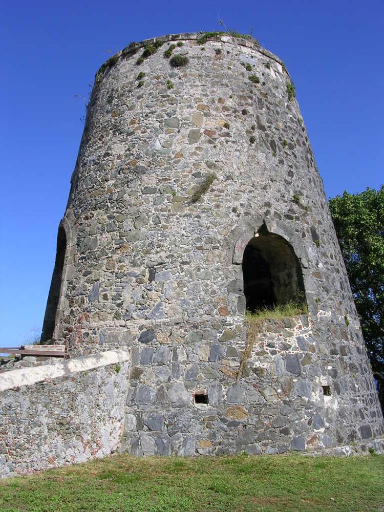
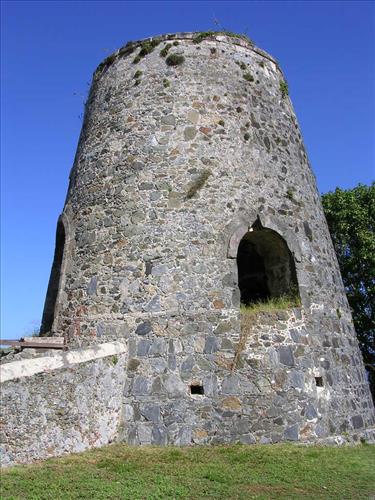
Annaberg Windmill at Virgin Islands National Park in December 2007
Annaberg Sugar Mill Ruins are located on St. John, Virgin Islands (18°21'46"N 64°43'47"W). According to the Historic American Buildings Survey report (HABS VI-18) the plantation was under cultivation by 1731, but the stone structures probably date to the 1820s or 1830s. The interior of the windmill is closed to the public.
exterior of the windmill
Permission must be secured from the individual copyright owners to reproduce any copyrighted materials contained within this website. Digital assets without any copyright restrictions are public domain.
Public domain:Note:The visitor in image #3 (photographing the windmill) is in a public place and therefore has no reasonable expectation of privacy. Also, his face is hidden, so he is not recognizable.