Select Item below to DOWNLOAD - Once item is selected, right click and choose 'save as'
b90619d9740841648e6aee228c3f597a
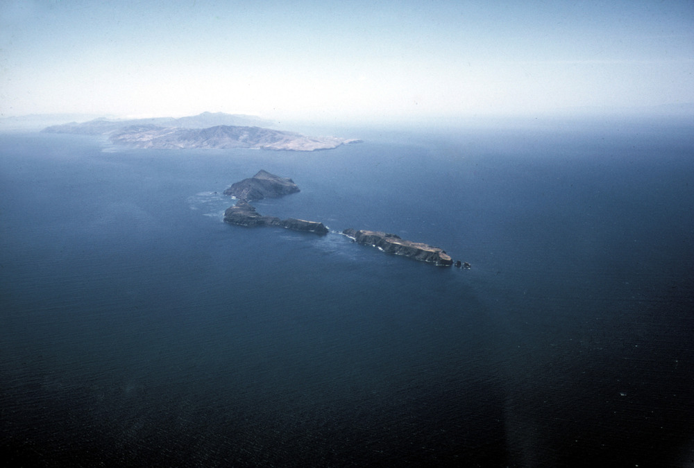
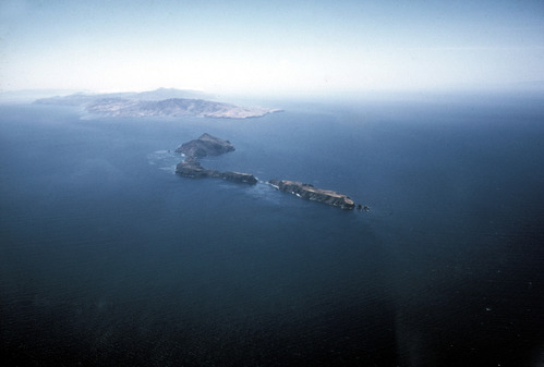
Aerial View of Anacapa and Santa Cruz Islands
Aerial View of Anacapa and Santa Cruz Islands
U. S. National Park Service
Original File Number: C1e-1
Permission must be secured from the individual copyright owners to reproduce any copyrighted materials contained within this website.
Unknown
Public domain
Image
Channel Islands National Park, Code: CHIS
Anacapa Island ; Santa Cruz Island
Channel Islands National Park, California
Latitude: 34.0039100646973, Longitude: -119.725196838379
Channel Islands National Park, California
Latitude: 34.0039100646973, Longitude: -119.725196838379
2008/11/04
11/04/2008
Extracted from: Final Cut Server database
Public Can View
Person: Program Manager
Organization: Channel Islands National Park
Address: 1901 Spinnaker Drive, Ventura CA 93001
Organization: Channel Islands National Park
Address: 1901 Spinnaker Drive, Ventura CA 93001
Thursday, August 15, 2019 4:21:38 PM
Thursday, August 15, 2019 4:21:38 PM
00078_s_C1E_1.jpg
jpg
2.1 MB
Scenic