Select Item below to DOWNLOAD - Once item is selected, right click and choose 'save as'


b8ec2917-90e7-48d6-a460-588d439a6c6b
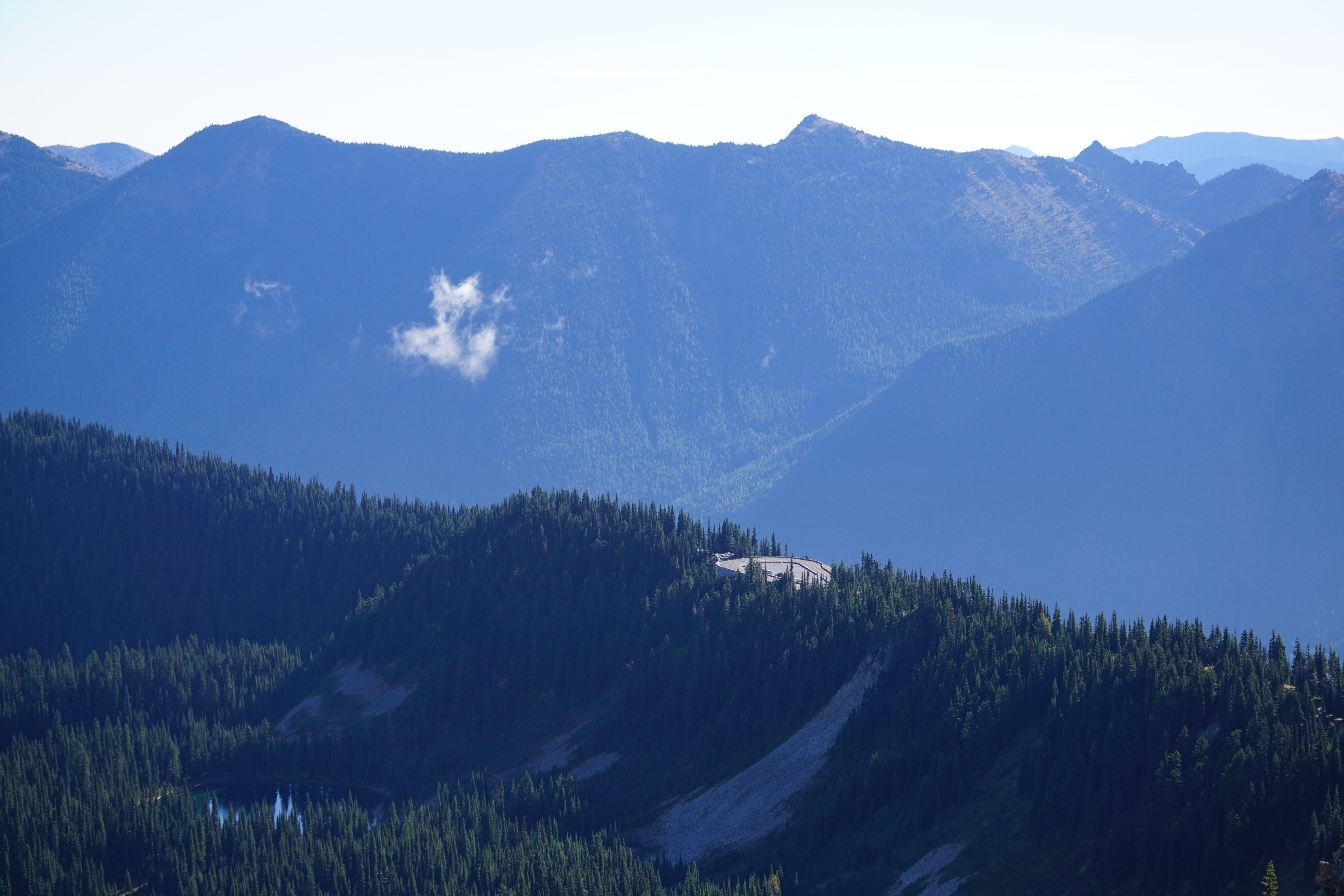
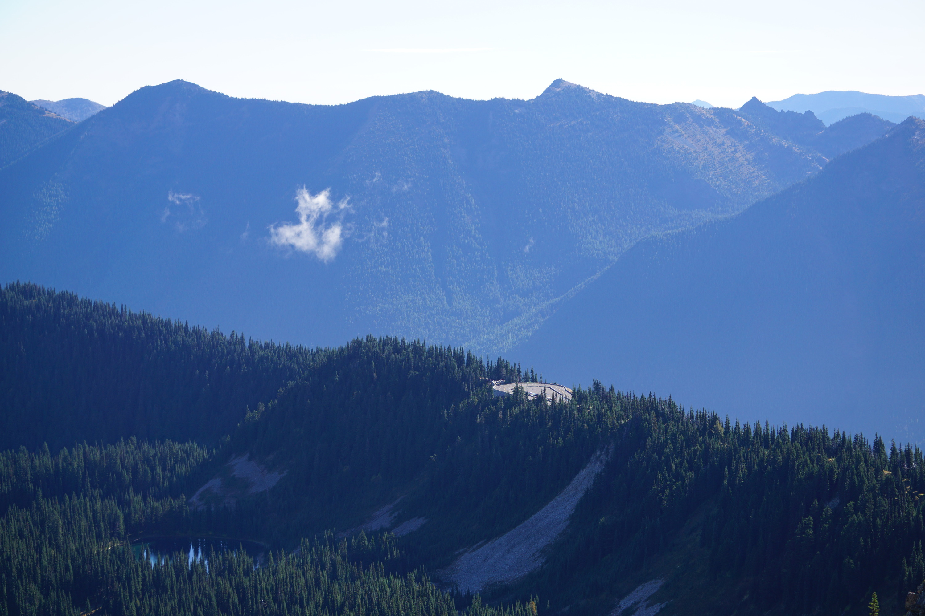
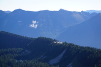
Sunrise Point
A hairpin curve of a road and small paved parking lot perches on the edge of a forested ridge.
Sunrise Point viewed from Dege Peak. Sourdough Ridge trail connects Sunrise Point to Sunrise.
Permission must be secured from the individual copyright owners to reproduce any copyrighted materials contained within this website. Digital assets without any copyright restrictions are public domain.
NPS Photo
Public domain:Full Granting Rights
Image
Mount Rainier National Park, Code: MORA
Mount Rainier National Park, Washington
Latitude: 46.865608215332, Longitude: -121.682601928711
Latitude: 46.865608215332, Longitude: -121.682601928711
09/27/2020
09/27/2020
Public Can View
Wednesday, October 14, 2020 11:57:16 AM
Wednesday, October 14, 2020 11:57:16 AM
DSC06605.JPG
SONY SONY, ILCE-6000 100, E 55-210mm F4.5-6.3 OSS
1/320 sec at f / 5.6
55 mm
ISO 100
Sunday, September 27, 2020 3:50:11 PM
jpg
6.0 MB
Scenic