Select Item below to DOWNLOAD - Once item is selected, right click and choose 'save as'
b87f1215687d4c6a97614ee3cddb33b8
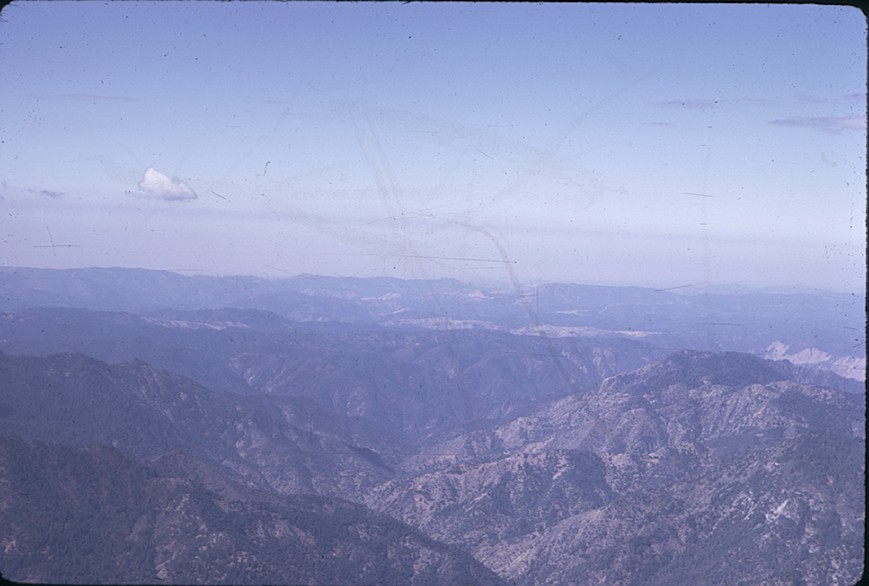
Merced Canyon, South Fork to west, aerial
Merced Canyon, South Fork to west, aerial
Merced Canyon, South Fork to west, aerial, 1967
Slide Number: A-05-089
U. S. National Park Service
Permission must be secured from the individual copyright owners to reproduce any copyrighted materials contained within this website.
Public domain
Image
Yosemite National Park, Code: YOSE
Merced Canyon, South Fork to west, aerial
Yosemite National Park, California
Latitude: 37.8399200439453, Longitude: -119.540397644043
Yosemite National Park, California
Latitude: 37.8399200439453, Longitude: -119.540397644043
2011/11/30
05/20/1905
Person: Archivist
Organization: US National Park Service
Address: Yosemite National Park Archives, PO Box 700-W, El Portal, CA 95318
Email: yose_archives@nps.gov
Organization: US National Park Service
Address: Yosemite National Park Archives, PO Box 700-W, El Portal, CA 95318
Email: yose_archives@nps.gov
Friday, May 31, 2019 10:58:55 AM
Friday, May 31, 2019 10:58:55 AM
A-05-089.jpg
jpg
99.8 kB
Historic