Select Item below to DOWNLOAD - Once item is selected, right click and choose 'save as'
b69ac10d-3b5d-4255-b023-e2a7edd4fe84
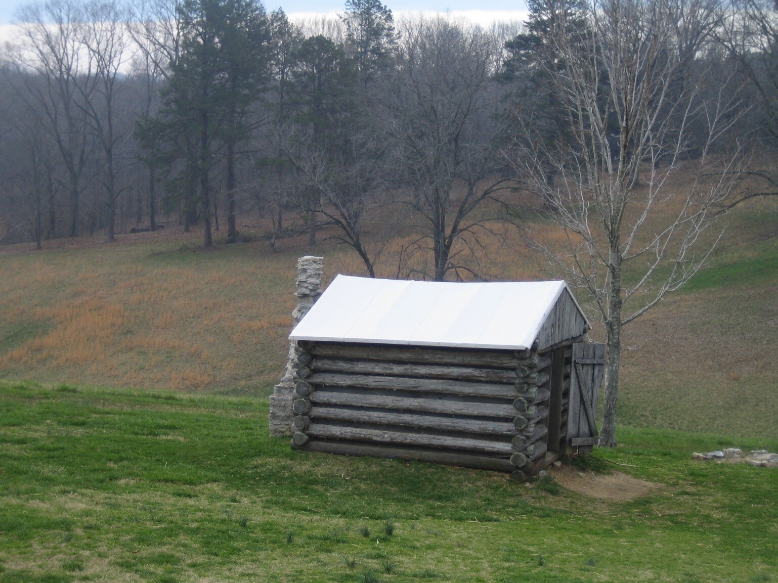
Photograph of a Typical Battlefield
Shelter
Photograph of a typical battlefield shelter resembling a simple log cabin.
Vast swaths of forest were cleared to construct cabins and shelters such as this recreated example. Most of the chimneys were likely log or wicker basket types. Some local stones were used for chimneys of the area; an abandoned quarry is west of the present-day park. Cleared forests caused increased erosion and sedimentation into adjacent waterways.
Permission must be secured from the individual copyright owners to reproduce any copyrighted materials contained within this website. Digital assets without any copyright restrictions are public domain.
Photograph by Trista L. Thornberry-Ehrlich (Colorado State University) taken in spring 2009.
Public domain:Full Granting Rights
Image
Fort Donelson National Battlefield, Code: FODO
Fort Donelson National Battlefield
Latitude: 36.4912986755371, Longitude: -87.8561325073242
Latitude: 36.4912986755371, Longitude: -87.8561325073242
01/01/0001
Public Can View
Tuesday, May 18, 2021 12:05:58 PM
Tuesday, May 18, 2021 12:05:58 PM
15_cabin.jpg
Monday, January 1, 0001 12:00:00 AM
jpg
513.1 kB
Scenic