Latitude: 43.8339996337891, Longitude: -102.393898010254
Content: Digital data
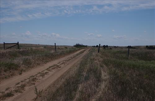
BADL_Sheep_Mountain_Road-South_Unit_02
BADL_Sheep_Mountain_Road-South_Unit_02
BADL_Sheep_Mountain_Road-South_Unit_02
BADL_Sheep_Mountain_Road-South_Unit_02
BADL_Sheep_Mountain_Road-South_Unit_02
BADL_Sheep_Mountain_Road-South_Unit_02
BADL_Sheep_Mountain_Road-South_Unit_02
BADL_Sheep_Mountain_Road-South_Unit_02
BADL_Sheep_Mountain_Road-South_Unit_02
BADL_Sheep_Mountain_Road-South_Unit_02
BADL_Sheep_Mountain_Road-South_Unit_02
BADL_Sheep_Mountain_Road-South_Unit_02
BADL_Sheep_Mountain_Road-South_Unit_02
BADL_Sheep_Mountain_Road-South_Unit_02