Select Item below to DOWNLOAD - Once item is selected, right click and choose 'save as'
b33fc984-1f95-49c6-8feb-7e310ad078e2
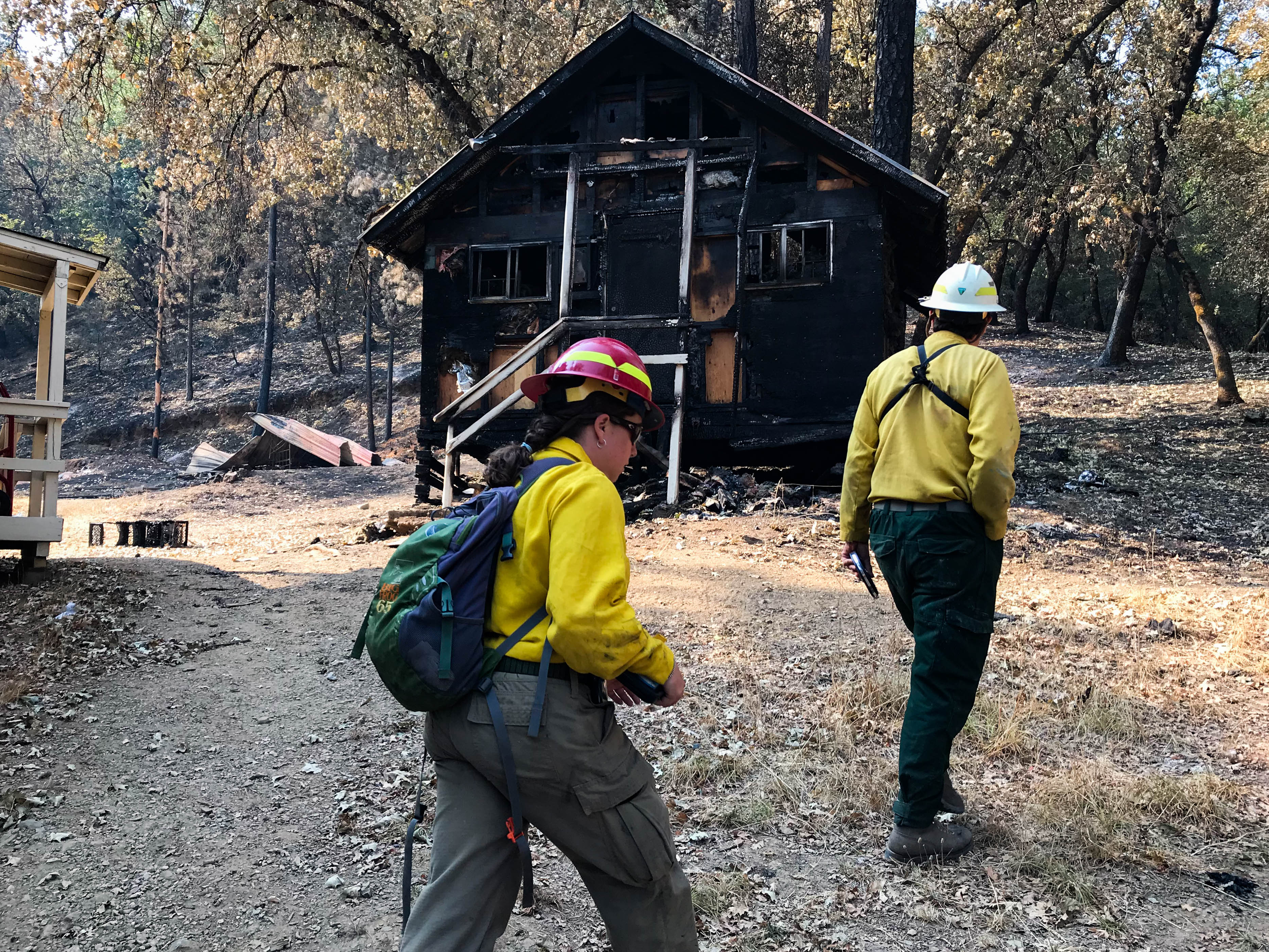
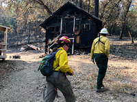
BAER Team Carr Fire Survey
A hydrologist and geologist walking past a burnt cabin
A multi-agency Burned Area Emergency Response (BAER) team of specialists surveyed sites throughout Whiskeytown National Recreation Area to assess for fire-related damage following the Carr Fire in July and August of 2018, which burned 39,000 of the park's 43,000 acres.
Permission must be secured from the individual copyright owners to reproduce any copyrighted materials contained within this website. Digital assets without any copyright restrictions are public domain.
NPS / Victoria Stauffenberg
Public domain:Full Granting Rights
Image
Whiskeytown National Recreation Area, Code: WHIS
Whiskeytown National Recreation Area, Shasta County, California
Latitude: 40.6136016845703, Longitude: -122.601997375488
Latitude: 40.6136016845703, Longitude: -122.601997375488
08/23/2018
08/23/2018
Public Can View
Monday, September 10, 2018 10:37:02 AM
Monday, September 10, 2018 10:37:02 AM
IMG_1011.jpg
Apple Apple, iPhone 7 20, iPhone 7 back camera 3.99mm f/1.8
1/350 sec at f / 1.8
3.99 mm
ISO 20
Thursday, August 23, 2018 3:54:50 PM
jpg
2.3 MB
Scenic