Select Item below to DOWNLOAD - Once item is selected, right click and choose 'save as'
b160ac98-a099-43ef-a04d-8f4523ab02f2
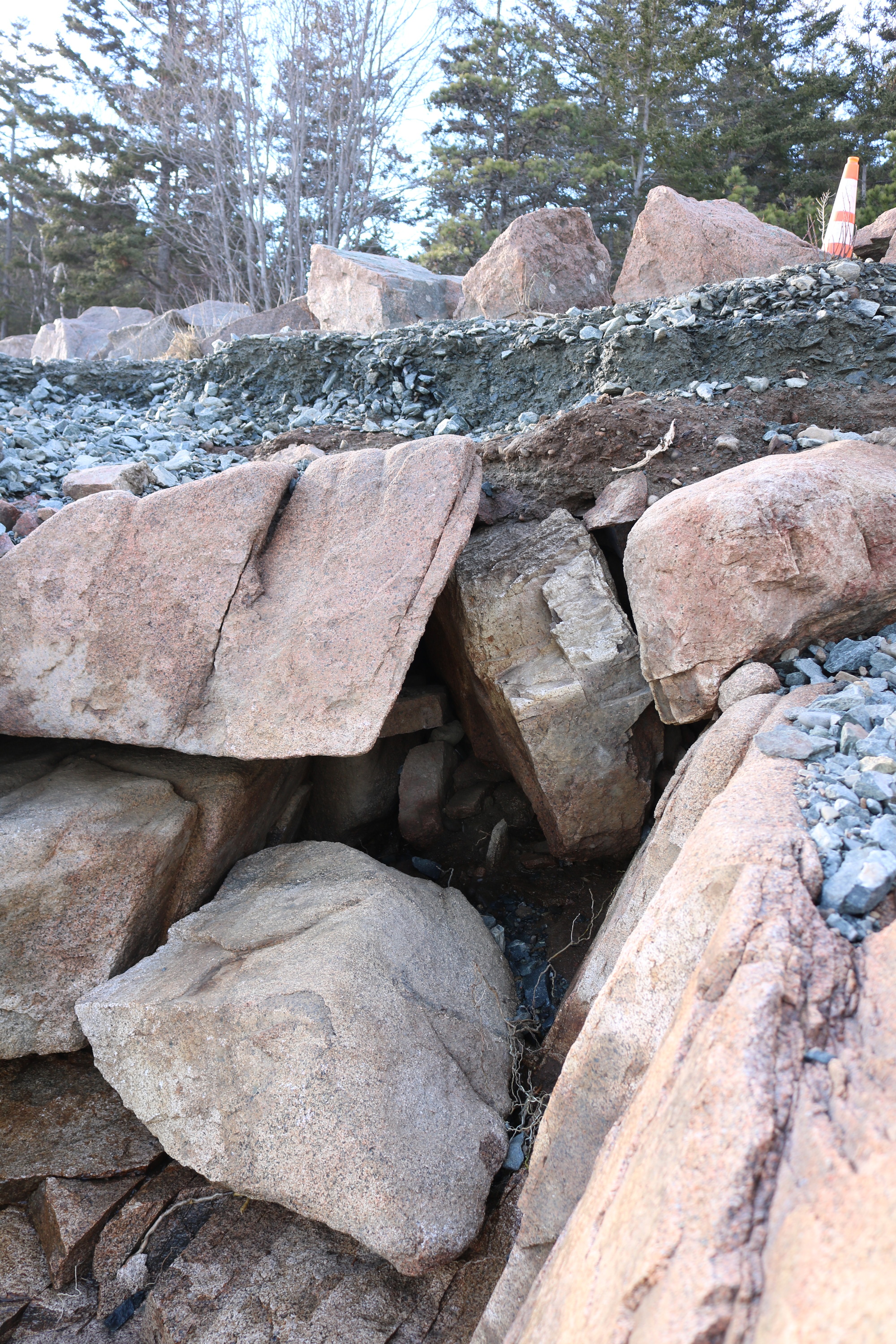
Ocean Path Storm Damage 3
A gravel path is pictured, with significant portions eroded. It is marked with a traffic cone to the upper right.
January 2024 storm damage as pictured at Ocean Path.
Permission must be secured from the individual copyright owners to reproduce any copyrighted materials contained within this website. Digital assets without any copyright restrictions are public domain.
NPS Photo
Public domain:Full Granting Rights
Image
Acadia National Park, Code: ACAD
Acadia National Park, Maine
Latitude: 44.3593788146973, Longitude: -68.2397308349609
Latitude: 44.3593788146973, Longitude: -68.2397308349609
01/11/2024
01/11/2024
Public Can View
Tuesday, January 30, 2024 8:47:05 PM
Tuesday, May 14, 2024 3:22:32 PM
ocIMG_1489.JPG
Canon Canon, Canon EOS Rebel T6i 100, EF-S18-55mm f/3.5-5.6 IS STM
1/60 sec at f / 5
21 mm
ISO 100
Thursday, January 11, 2024 2:54:11 PM
jpg
12.1 MB
Scenic